What is recorded here
Tonyhallagh holds a thirty-eight-metre circular scar where two low earthen banks still curve around a missing life. The western gap remains open, not broken, as if the fort never learned to close against the dark. People may have lived there before forgetting the shape of their own houses, leaving only a round shadow in the Cavan soil.
Raised circular area (int. diam. 38.4m) enclosed by two low earthen banks with poorly defined shallow outer fosses. External fosse and bank are absent from WNW-N-ENE. Corresponding breaks in banks at WSW represent original entrance.
The above description is derived from the published 'Archaeological Inventory of County Cavan' (Dublin: Stationery Office, 1995). In certain instances the entries have been revised and updated in the light of recent research.
Date of upload/revision: 22 December 2008
The monument record does not grant public access. Check the route and ask the landowner before entering private land.
- What survives
- Recorded monument
Places near here
 Killycluggin StoneVisitor information · 391 yd
 LissanoverCastle, unclassified · 660 yd
 Tober PatrickHoly well · 1258 yd
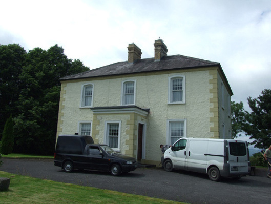 The Presbyterypresbytery/parochial/curate's house · 1260 yd
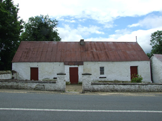 farm housefarm house · 1327 yd
 Enclosure in CorEnclosure · 1632 yd
 Bellaheady MountainMountain / peak · 1.4 mi
 Killarah ForestForest · 1.5 mi
 Saint Mogue's IslandIslet · 1.5 mi
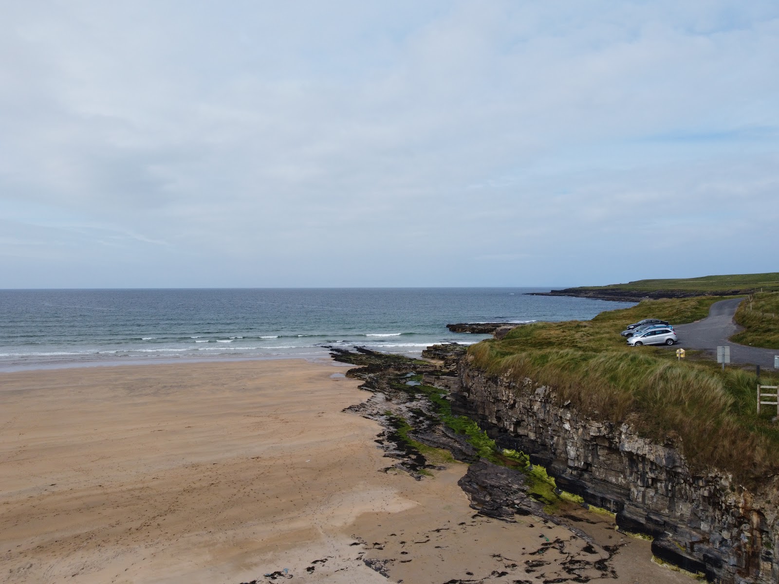 Carrowmore Lecharrownahone ForestForest · 1.7 mi
 Giants GraveArchaeological place · 1.8 mi
 IndicatedCastle, tower house · 2.6 mi