What is recorded here
Fairy fort / earthen ringfort in Tonyglassan (cremorne By; Ballybay Par.) stands just E of the summit of a hill in an undulating landscape. A subcircular overgrown area measures 35.4m NW-SE and 29.5m NE-SW, bounded by an earthen bank reaching 2.3m externally and a fosse cutting W-NNW. The SSE entrance spans 2.3m at its base, inviting entry into a space where human purpose and fairy trickery become difficult to separate.
Located just E of the summit of a hill in an undulating landscape. This is a subcircular overgrown area (dims 35.4m NW-SE; 29.5m NE-SW) defined by an earthen bank (at S: Wth of base 4.9m; int. H 0.6m; ext. H 2.3m), accompanied by a fosse W-NNW. There is an entrance (Wth of base 2.3m) at SSE. The interior had been cleared and the perimeter NW-E-SW removed by 1995 (OSAP).
The above description is derived from the published 'Archaeological Inventory of County Monaghan' (Dublin: Stationery Office, 1986). In certain instances the entries have been revised and updated in the light of recent research.
Revised by: Michael Moore
Date of revision: 22 June 2018
The monument record does not grant public access. Check the route and ask the landowner before entering private land.
- What survives
- Recorded monument
Places near here
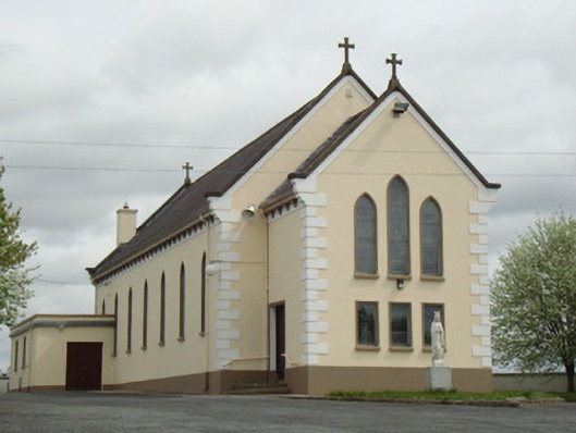 Catholic Church of Our Lady of Knockchurch/chapel · 387 yd
 The CashellCourt tomb · 876 yd
 Fort HillWood · 1383 yd
 Giants GraveMegalithic tomb · 1611 yd
 Laragh WoodForest · 1.2 mi
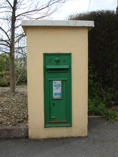 post boxpost box · 1.3 mi
 Monaghan WayWalking route · 3.4 mi
 IllanshivansIslet · 4.0 mi
 Lough Egish IslandIslet · 4.0 mi
 The CrescentMemorial · 4.3 mi
 Big Tom Memorial StatueMemorial · 4.9 mi
 Bawn in OnomyBawn · 5.0 mi