What is recorded here
Fairy fort in Tomdeely North: a rough circular earth-and-stone bank, about twenty-six by twenty-nine metres, rises on a low pasture ridge beside limestone outcrops. The western gap has been widened for cattle, yet the place still keeps its old shape: a small enclosed world where grass, bushes and rain have worn the boundary into something both forgotten and familiar.
On low rise, in generally low-lying flat pasture, with limestone outcrops. Roughly circular area (25.8m N-S; 29.1m E-W) enclosed by earth-and-stone bank (int. H 0.7m; ext. H 0.95m). Break in bank is at W; this has recently been widened (Wth 4.8m) to allow cattle access interior. Enclosing element is partially covered with bushes but interior is under grass. Interior surface is uneven but generally sloping down gently to S.
Compiled by: Denis Power
Date of upload: 26 August 2011
The monument record does not grant public access. Check the route and ask the landowner before entering private land.
- What survives
- Recorded monument
Places near here
 CairnCairn, burial cairn · 599 yd
 Megalithic structure in Tomdeely NorthMegalithic structure · 646 yd
 Tomdeely CastleCastle · 823 yd
 Ballynash CastleCastle, unclassified · 1384 yd
 Holly IslandIslet · 1451 yd
 Abbey (in ruinsReligious house, Franciscan friars · 1663 yd
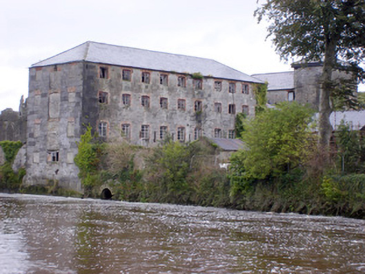 Abbey Millsmill (water) · 1748 yd
 Askeaton CastleHeritage attraction · 1.2 mi
 Greenish IslandIslet · 1.4 mi
 Courtbrown PointHeadland · 1.7 mi
 Herring RockNamed rock · 2.6 mi
 Curraghchase Forest ParkForest · 4.9 mi