What is recorded here
No visible trace remained when inspected in 1983, though maps from 1838 and 1920 marked a roughly subcircular enclosure in pastureland on a natural rise. A house now stands immediately south of the site, while another rath lies thirty-eight metres east and a possible rath one hundred and five metres west. The curving field bank at the northeast may still mirror the lost outline, holding the shape of a place that has already given way to building and forgetting.
In pastureland on top of a natural rise. Marked on the 1838 and 1920 editions of the OS 6-inch maps as a roughly subcircular enclosure (c. 32m NW-SE; c. 25m NE-SW). On inspection in July 1983, no visible surface trace survived. A slightly curving field bank at NE may have mirrored the outline of the enclosing element. A house has been built immediately to the S of it. Another rath (GA116-118----) lies c. 38m to the E and a possible rath (GA116-116----) lies c. 105m to the W.
Compiled by: Galway Archaeological Survey, UCG
Date of upload: 11 July 2019
The monument record does not grant public access. Check the route and ask the landowner before entering private land.
- What survives
- Recorded monument
Places near here
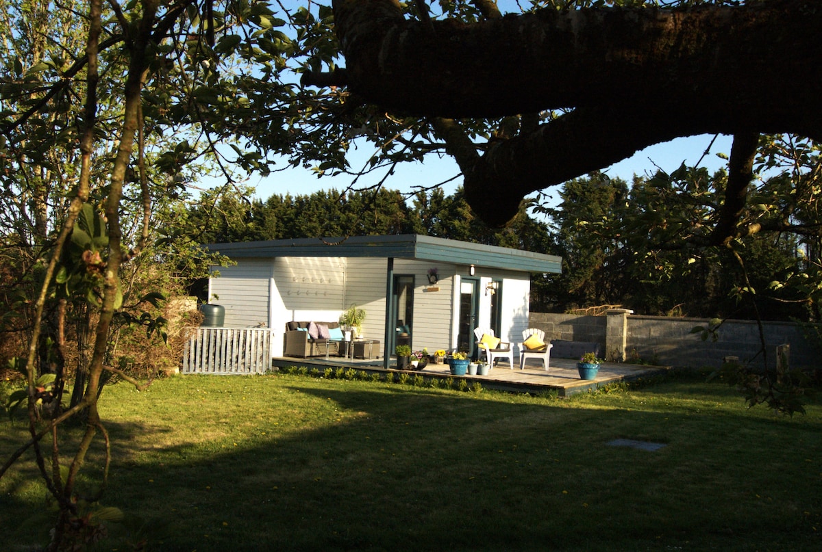 Enclosure in Curragh (leitrim By.)Enclosure · 854 yd
 TobermacduaghHoly well · 930 yd
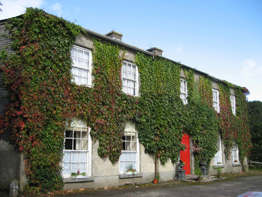 Eagle Hillcountry house · 1.1 mi
 R.C. ChapelChurch · 1.3 mi
 Site of CastleCastle, unclassified · 1.6 mi
 Coolfin Castle (in ruins)Castle, tower house · 2.1 mi
 Oak WoodForest · 2.8 mi
 Bog WoodForest · 3.0 mi
 Friar's IslandIslet · 5.9 mi
 Abbey IslandIslet · 6.0 mi
 Stonyisland BayBay · 6.0 mi
 TullymoreMountain / peak · 6.6 mi