What is recorded here
Fairy fort in Tomany Beg: a vanished ringfort on a grassy rise, marked complete in 1838 but reduced by 1983 to a slight curve in a field boundary. Two other raths sit nearby to the east, suggesting a small cluster of defended or enclosed places rather than a lonely mistake. The land may have swallowed the first fort while people kept using the ground for fields, turning human architecture into fairy legend and fairy legend into forgotten history.
On top of a natural rise in grassland. Marked on the 1838 edition of the OS 6-inch map and the OS 1:2500 plan (surveyed 1912-16) as a roughly subcircular enclosure (c. 37m NE-SW; c. 30m NW-SE). The enclosing element is overlain by a field boundary from NW to NE on the 25-inch plan. On inspection in July 1983, apart from a slight curve in the field boundary at N, no visible surface trace survived. Two other raths (GA116-117---- and GA116-118----) lie c. 105m and c. 175m to the E repsectively.
Compiled by: Galway Archaeological Survey, UCG
Date of upload: 11 July 2019
The monument record does not grant public access. Check the route and ask the landowner before entering private land.
- What survives
- Recorded monument
Places near here
 Enclosure in Curragh (leitrim By.)Enclosure · 805 yd
 TobermacduaghHoly well · 841 yd
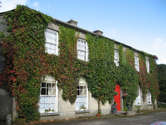 Eagle Hillcountry house · 1.1 mi
 R.C. ChapelChurch · 1.2 mi
 Site of CastleCastle, unclassified · 1.7 mi
 Coolfin Castle (in ruins)Castle, tower house · 2.2 mi
 Oak WoodForest · 2.9 mi
 Bog WoodForest · 3.0 mi
 Friar's IslandIslet · 6.0 mi
 Abbey IslandIslet · 6.1 mi
 Stonyisland BayBay · 6.1 mi
 TullymoreMountain / peak · 6.6 mi