What is recorded here
Situated on SE edge of rising ground with extensive views of the surrounding countryside. A roughly oval-shaped area (diam. 24m N-S x 26.8m E-W) defined by a broad bank of earth and stones which is best preserved at E and W and traces of an external fosse visible at SW only. Entrance gap (Wth 1.6m-6.4m) at ESE. The interior of the ringfort slopes from N-S. Possible evidence of quarrying on the S side of the ringfort immediately S of the enclosing bank. The ringfort is enclosed within a small field of post-1700 date the boundaries of which encroaches upon the perimeter of the monument at S and W. Wall footings of a possible post-1700 house can be seen outside the enclosing bank at N & NW.
See attached profile of monument surveyed and drawn by the ASI.
Compiled by: Frank Coyne & Caimin O'Brien
Date of upload: 15 November 2016
The monument record does not grant public access. Check the route and ask the landowner before entering private land.
- What survives
- Recorded monument
Places near here
 HacuredFairy fort / earthen ringfort · 272 yd
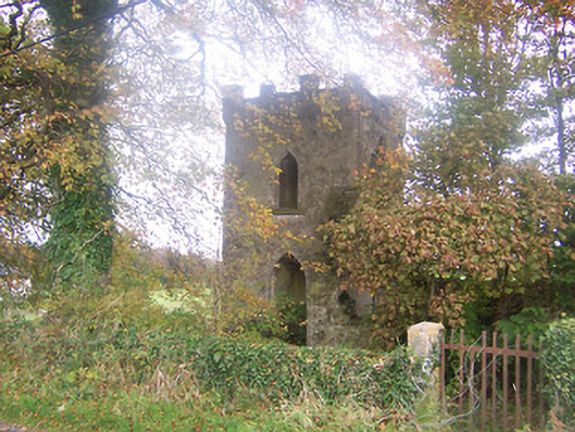 Togher Church (Foyran)church/chapel · 535 yd
 CastleCastle, motte · 977 yd
 Castletown Houseworker's house · 1057 yd
 Togher CastleCastle · 1118 yd
 IndicatedFairy fort / earthen ringfort · 1202 yd
 Fox CovertForest · 1.8 mi
 MullaghmeenMountain / peak · 2.0 mi
 Watty's RocksIslet · 2.1 mi
 Muldarry PointHeadland · 2.2 mi
 Mullaghmeen White WalkWalking route · 2.3 mi
 Ross BayBay · 2.3 mi