What is recorded here
Danish soldiers probably bled into that soil before human memory faded, marking Tobermaclugg as a place of violence rather than fairy nonsense. Agmondisham Vesey owned the land when Bernard Scalé drew the fort in 1772, proving the earth still held a shape worthy of measurement. Modern routers cut across the northeast quadrant without hesitating, treating ancient danger as mere grass in their way. The ditch remains visible only when satellites look down, suggesting human arrogance still believes it can erase what darkness already marked.
In grassland. Cropmark of polygonal-shaped area (dims. c. 46m N-S x 24m E-W) defined by a wide ditch visible on OSi Bluesky orthoimage taken 2018 (https://sdublincoco.maps.arcgis.com/apps/webappviewer/index.html?id=e0c5595b033341dea7661e248d2e9ee9). Faint traces of cropmark visible on Digital Globe orthoimage taken between 2011-13 and clearly visible on Google Earth orthoimages. Google Earth orthoimage taken 04/04/2021 shows the construction of a road that has cut across the NE quadrant of the cropmark. This cropmark appears to be the remains of the levelled 'Danes Fort' which is depicted on the 1772 Map of Tobermaclugg which was part of the Manor of Lucan belonging to the Vesey family (https://hdl.handle.net/10599/12278).
See attached Google Earth orthoimages and orthoimage provided by Jean-Charles Caillere and 1772 estate map of Tobermaclugg.
Map of Tobermaclugg in 1772 by Bernard Scalé. Created to map Agmondisham Vesey's estates in Dublin and Kildare. St. Patrick's Hospital/Agm. Vesey.
Compiled by: Caimin O'Brien based on details provided by Donal Lucey, Stephen Callaghan and Jean-Charles Caillere
Date of upload: 30 November 2022
The monument record does not grant public access. Check the route and ask the landowner before entering private land.
- What survives
- Recorded monument
Places near here
 CastleCastle, unclassified · 352 yd
 Earthwork in TobermacluggEarthwork · 519 yd
 Enclosure in AderrigEnclosure · 592 yd
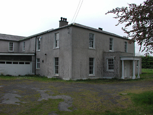 Airlie Househouse · 707 yd
 IndicatedKiln, lime · 846 yd
 Sli Na Sláinte Leixlip Lucan DesmenseWalking route · 1.2 mi
 Lucan DemenseHeritage attraction · 1.3 mi
 Guinness' BreweryMemorial · 1.5 mi
 Leixlip MonumentMemorial · 1.5 mi
 Sli Na Sláinte Leixlip SliWalking route · 1.5 mi
 Batty Langley WoodsForest · 1.5 mi
 Saint Wolstan'sHeritage attraction · 1.6 mi