What is recorded here
Fairy fort / earthen ringfort in Toberbride is a fairy fort or earthen ringfort in Toberbride, County Sligo, Ireland. It occupies a low flat-topped ridge in pasture, where a seventy-metre scarp and broad slope mark the probable remains of a large oval rath. A man-made underground passage is present in the southern interior, while no enclosing element survives on the north-eastern side.
In pasture, on a low flat-topped ridge with broadly sloping sides, steepest on the W side, and bordered W-E by low-lying wet ground and SE-S by a gently rising ridge of higher ground. An arc of scarp (L 70m; Wth slope 1.7m; H 0.5m) S-NNW coincides with the natural break of slope at the top of the ridge. At the base of the scarp there is a terrace (Wth 4.5m) from which the ground falls in a broad slope (Wth slope 5m; H 0.95m) to the base of the ridge. This is probably the remains of a large oval rath, though no evidence of an enclosing element survives N-SE. A NE-SW field boundary crosses the probable S limits of the rath. There is a Man-made underground passage (SL026-026002-) in the S half of the interior. This rath is probably that described by O'Rorke (1878, 241) as 'a large rath or fort…oblong being 96 yards [87.78m] in length and 72 [65.84m] in breadth'. There is a possible fulacht fia (SL026-026005-) immediately to W.
The above description is derived from the published 'Archaeological Inventory of County Sligo' compiled by Ursula Egan, Elizabeth Byrne, Mary Sleeman with Sheila Ronan and Connie Murphy (Dublin Stationery Office, 2005).
Date of upload: 18 January 2008
The monument record does not grant public access. Check the route and ask the landowner before entering private land.
- What survives
- Recorded monument
Places near here
 Toberbride (Site of)Holy well · 35 yd
 Enclosure in ToberbrideEnclosure · 368 yd
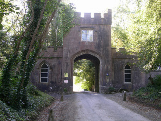 Markree Castlegate lodge · 884 yd
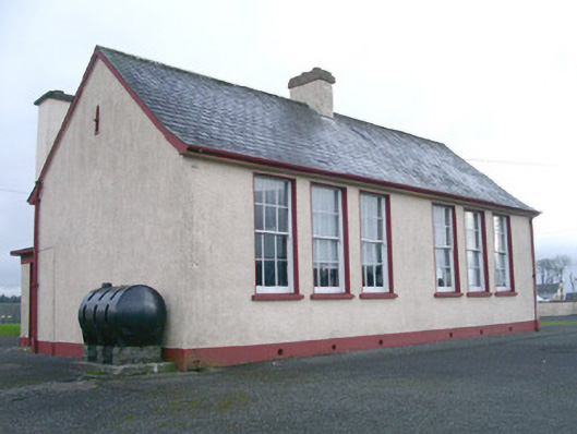 Saint Joseph's National Schoolschool · 930 yd
 European ashEuropean ash · 1054 yd
 Field MapleField Maple · 1.0 mi
 CastleCastle, motte and bailey · 1.1 mi
 Teeling MonumentMemorial · 1.1 mi
 Battle of Collooneybattle · 1.2 mi
 Castle (Site of)Castle, unclassified · 1.2 mi
 BunreecoillMountain / peak · 2.0 mi
 SlievewardMountain / peak · 2.4 mi