What is recorded here
Fairy fort / earthen ringfort in Toberanania is a fairy fort or earthen ringfort in Toberanania, County Sligo, Ireland. The site occupies undulating pasture on a low ridge, where a raised circular area measures 15.5 metres from north to south. An earth and stone bank encloses this space, standing 3.2 metres wide, 0.3 metres high internally and 1 metre high externally. The eastern entrance spans 3.5 metres and connects to a short linear passage formed by an out-turned bank, stretching 5.4 metres east to west.
In undulating pasture, on a low ridge. A raised circular area (diam. 15.5m N-S) enclosed by an earth and stone bank (Wth 3.2m; int. H 0.3m; ext. H 1m). The entrance (Wth 3.5m) is at E with an out-turned bank forming short linear entrance passage (L 5.4m E-W). A shallow depression (5m N-S) was noted just inside a gap in the bank at S. Another rath (SL021-035----) lies c. 110m to NE.
The above description is derived from the published 'Archaeological Inventory of County Sligo' compiled by Ursula Egan, Elizabeth Byrne, Mary Sleeman with Sheila Ronan and Connie Murphy (Dublin Stationery Office, 2005).
Date of upload: 18 January 2008
A fairy fort / earthen ringfort in Toberanania is a circular early-medieval defensive or domestic site, likely dating to between the 5th and 10th centuries AD. Local tradition associates such sites with the faé or supernatural beings, and they were often avoided or revered in Irish folklore.
The monument record does not grant public access. Check the route and ask the landowner before entering private land.
- What survives
- Recorded monument
Places near here
 Sweathouse in KillerrySweathouse · 921 yd
 MoteCastle, motte · 1417 yd
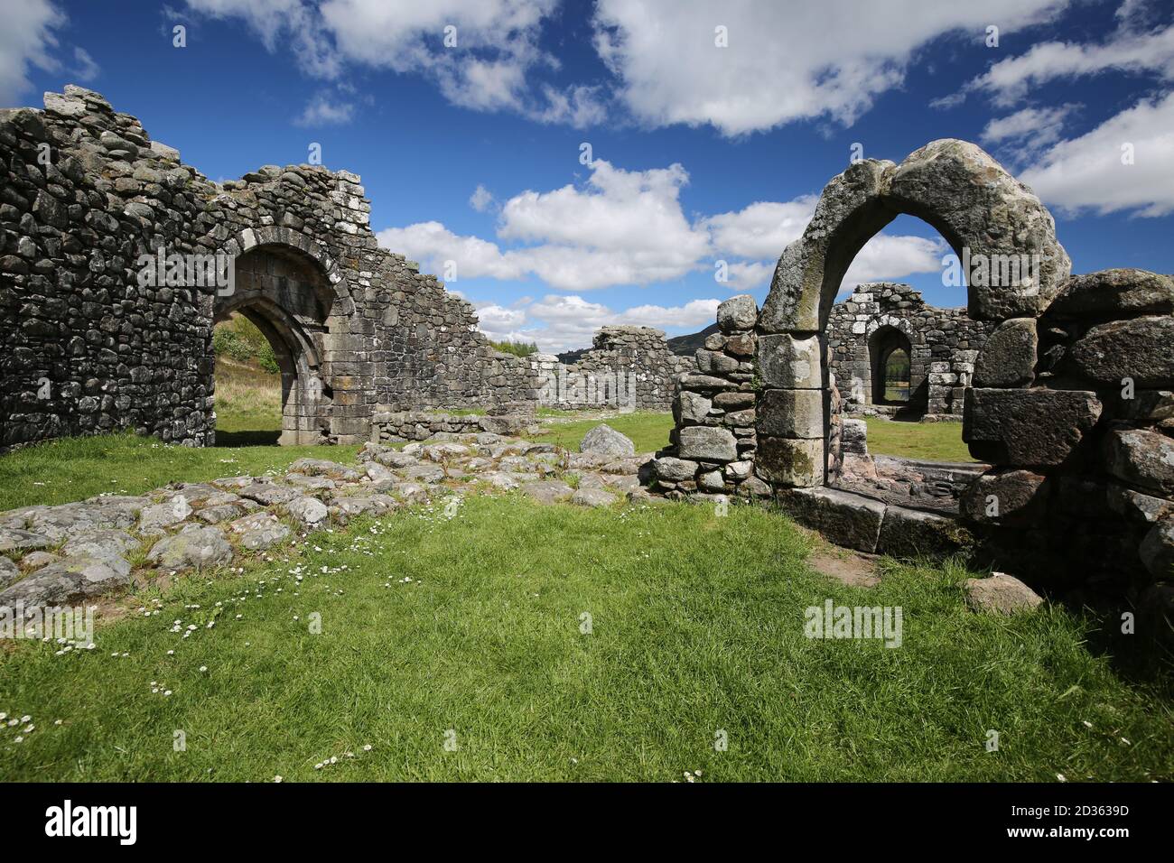 Doon FortCliff-edge fort · 1526 yd
 Church (in Ruins)Church · 1670 yd
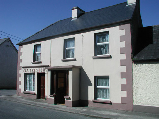 J.F. Trestonhouse · 1717 yd
 CastleCastle, unclassified · 1.0 mi
 SlishwoodWood · 2.0 mi
 Cullentra ForestForest · 2.3 mi
 Trawane BayBay · 2.5 mi
 InnisfreeIslet · 2.5 mi
 Slishwood Island WestIslet · 2.7 mi
 Bunowen BayBay · 2.9 mi