What is recorded here
Fairy fort / earthen ringfort in Toberanania is a fairy fort or earthen ringfort in Toberanania, County Sligo, Ireland. It occupies a raised oval area measuring 17.5 metres north-south and 29 metres east-west on a ridge slope. An earth and stone bank four metres wide runs along the eastern arc, while a steeper scarp defines the remaining boundary. Hazel and hawthorn bushes now overgrow the structure.
In poor pasture, on the top of a NW-facing slope of a ridge and immediately S of a townland boundary. A raised oval area (17.5m N-S; 29m E-W) defined by an earth and stone bank (Wth 4m; int. H 0.4m; ext. H 0.4m) along the E arc and by a scarp (H 0.7m) elsewhere. The rath is overgrown with hazel and hawthorn bushes.
The above description is derived from the published 'Archaeological Inventory of County Sligo' compiled by Ursula Egan, Elizabeth Byrne, Mary Sleeman with Sheila Ronan and Connie Murphy (Dublin Stationery Office, 2005).
Date of upload: 18 January 2008
The monument record does not grant public access. Check the route and ask the landowner before entering private land.
- What survives
- Recorded monument
Places near here
 Sweathouse in KillerrySweathouse · 964 yd
 MoteCastle, motte · 1071 yd
 Church (in Ruins)Church · 1418 yd
 Grave YardGraveyard · 1437 yd
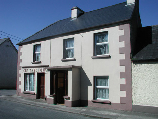 J.F. Trestonhouse · 1.2 mi
 CastleCastle, unclassified · 1.3 mi
 SlishwoodWood · 2.1 mi
 Cullentra ForestForest · 2.2 mi
 Trawane BayBay · 2.4 mi
 InnisfreeIslet · 2.4 mi
 Slishwood Island WestIslet · 2.8 mi
 Bunowen BayBay · 3.0 mi