What is recorded here
Toberagarriff holds a substantial earthen ringfort, likely dating to the early medieval period when such fortified farms anchored local life. The earthwork still stands about fifty metres across in the grassland near the R506, marked by a surviving bank and scattered trees. It may have housed a family, stored grain, or sheltered people during trouble, while local memory later called it a fairy fort because its purpose became unclear. The field changed around it, but the circle remained, waiting to be read rather than explained away.
In grassland in NE corner of a large field, 300m N of the R506 and 170m W of a local access road. The site is depicted as a D-shaped enclosure on the 1840 OS 6-inch map with a post-1700 field boundary intersecting perimeter at NW. The 1897 OS 25-inch map depicts the monument as a sub-circular shaped area (approx. int. dims. 38m N-S x 43m E-W; ext. dims. 48m N-S x 50m E-W) defined by a bank from NW through N to NNE, reduced to a scarp elsewhere. Monument visible as a tree-covered earthwork on Google Earth orthoimage taken 28/06/2018.
See attached Google Earth orthoimage taken 28/06/2018
Compiled by: Martin Fitzpatrick
Date of upload: 10 June 2020
The monument record does not grant public access. Check the route and ask the landowner before entering private land.
- What survives
- Recorded monument
Places near here
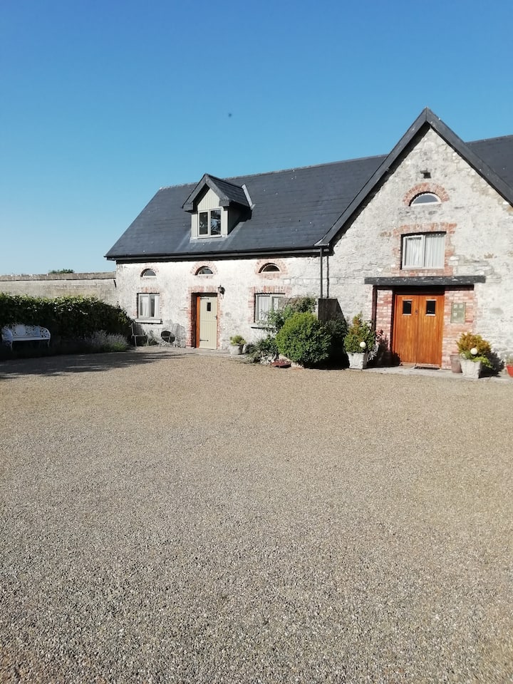 Enclosure in AhacoreEnclosure · 920 yd
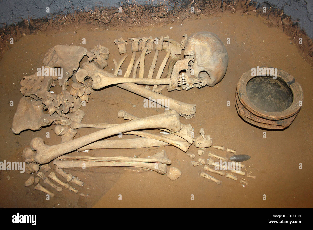 BarrowBarrow, ditch barrow · 934 yd
 Clonshavoyhouse · 1185 yd
 Maddyboy Househouse · 1474 yd
 Graveyard in AbingtonGraveyard · 1.2 mi
 CastleCastle, unclassified · 1.3 mi
 Sliev Felim WayVisitor information · 1.4 mi
 Bawn in RathBawn · 2.1 mi
 Slieve Felim WayWalking route · 4.5 mi
 KnockseefinMountain / peak · 6.7 mi
 The Pollagh TrailNature reserve · 8.5 mi
 St. Patrick's WellSpring · 8.6 mi