What is recorded here
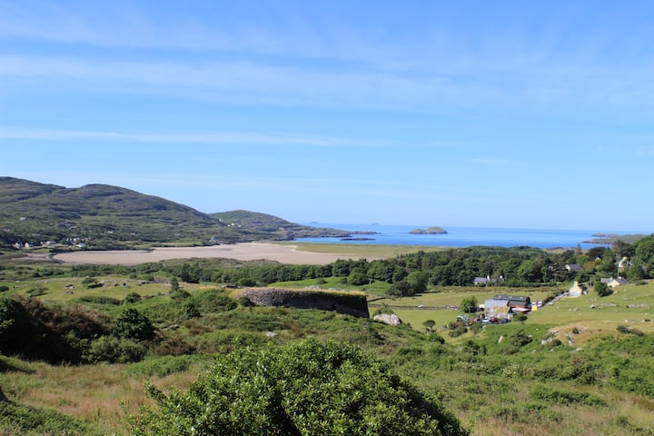
Toanreagh holds a univallate rath on a Kerry rise, its broad southern gap inviting entry into a circular chamber where two mounds still mark buried rooms. The outer ditch cuts a sharp U shape across the land, while the raised interior overlooks the surrounding countryside. Local tradition calls it a fairy fort, suggesting the chamber belongs to unseen neighbours rather than abandoned people. The mounds may preserve an underground passage, keeping the fort alive as a threshold between human memory and fairy possibility.
This site is situated one field SE of KE014-028----; it too is situated on a rise and has an extensive view of the surrounding countryside. It is a univallate rath, consisting of a circular area enclosed by a bank and exterior fosse. The external fosse, well defined and U shaped, is on average 1.6m wide and 1.1 m deep. The interior is at a higher level than the surrounding land and access is gained by an 8m wide entrance to the S. Contained within the interior are two mounds: the N mound measures 10.4m x 10m internally; the other, SE of this, measures 4m x 6m internally. These may be the remains of the Man-made underground passage which is marked as 'cave' (KE014-043001-) on the 1842 OS map.
The above description is derived from C. Toal, ‘North Kerry Archaeological Survey’. Dingle. Brandon in association with FAS Training and Employment Authority (1995), no. 500. In certain instances the entries have been revised and updated in the light of recent research.
Date of upload: 2 August 2013
The monument record does not grant public access. Check the route and ask the landowner before entering private land.
- What survives
- Recorded monument
Places near here
 LosgortarughelArchaeological place · 953 yd
 PurtaheenHoly well · 1403 yd
 Saint Mary's Catholic Churchchurch/chapel · 1577 yd
 Our Lady's Holy WellSpring · 1.3 mi
 Castle (in ruins)Castle, unclassified · 1.4 mi
 CastleCastle, unclassified · 1.6 mi
 Ballyheige Castlecountry house · 1.8 mi
 Inshaboy PointHeadland · 3.2 mi
 Maulin MountainMountain / peak · 3.4 mi
 Triskbeg MountainMountain / peak · 4.0 mi
 Pierce's IslandIslet · 4.3 mi
 Ardfert FriaryVisitor information · 4.9 mi