What is recorded here
Two substantial earthen banks still enclose a raised oval area forty-two metres long in Tircullen, though the outer wall has surrendered on three sides to a modern field boundary. The deep intermediate fosse and possible eastern entrance suggest a defensible home rather than a fairy circle, yet the loss of the outer bank blunts its shape into an ordinary farm edge. Human hands built the ridge, but time and plough have erased the wall that made the form complete.
Raised oval area (int. dims. 42m N-S; 37m E-W) enclosed by two substantial earthen banks with wide, deep intermediate fosse. Outer bank absent from NE-E-SSW and replaced by a field boundary from NE-E-ESE. Original entrance may possibly have been at E.
The above description is derived from the published 'Archaeological Inventory of County Cavan' (Dublin: Stationery Office, 1995). In certain instances the entries have been revised and updated in the light of recent research.
Date of upload/revision: 22 December 2008
The monument record does not grant public access. Check the route and ask the landowner before entering private land.
- What survives
- Recorded monument
Places near here
 Castle CosbyCastle, unclassified · 716 yd
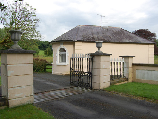 gate lodgegate lodge · 1003 yd
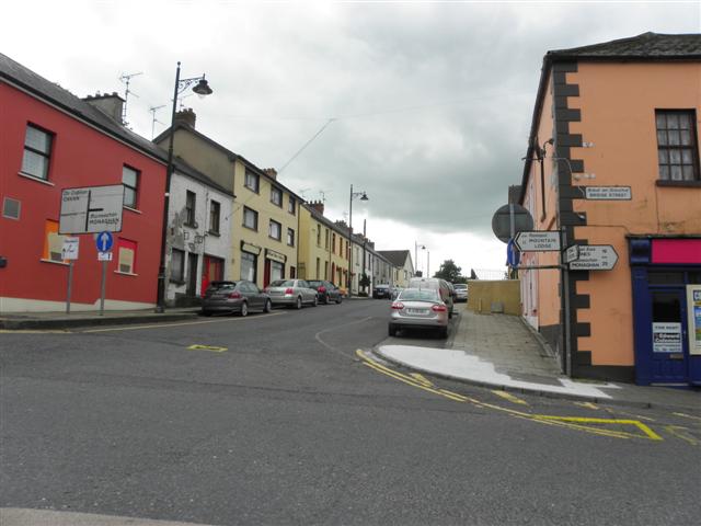 IndicatedFairy fort / earthen ringfort · 1172 yd
 BellvilleMountain / peak · 1336 yd
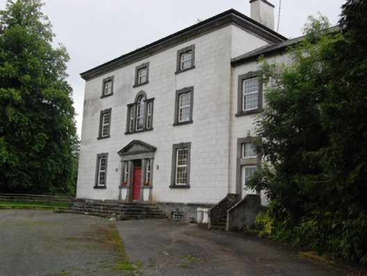 Bingfield Housecountry house · 1510 yd
 Fleming's FollyForest · 1617 yd
 Corgarran ForestForest · 1.2 mi
 St. Felimys WellHoly well · 1.3 mi
 CastleCastle, motte and bailey · 1.3 mi
 DrumcarbanMountain / peak · 2.2 mi
 Carricknagore RockNamed rock · 2.8 mi
 Owen Roe O'Neill graveMemorial · 2.9 mi