What is recorded here
Fairy fort in Tipper South is a circular earthen ring, 38m across, with a 1.5m bank and an entrance gap at the east. It sits in level pasture, slightly touched by a modern field bank and drain, yet its shape still reads clearly from above. People may have lived there, marked territory there, or simply avoided the circle because fairy stories warned them it belonged elsewhere.
In level, well drained pasture. Described in 1972 as a circular area (diam. 38m) enclosed by a well-defined earthen bank (H1.5m) with an entrance gap at E, and with slight traces of an outer fosse. The site is skirted by a modern field bank and drain SE-SW (SMR file). Visible on a 2005 aerial photograph (OSi Orthophoto).
Compiled by: Gearóid Conroy
Date of upload: 10 June 2011
The monument record does not grant public access. Check the route and ask the landowner before entering private land.
- What survives
- Recorded monument
Places near here
 The Cave RathEnclosure · 598 yd
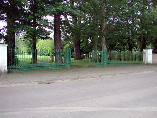 demesne walls/gates/railingsdemesne walls/gates/railings · 1216 yd
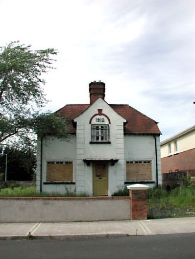 Ballycane Househouse · 1265 yd
 Stone CrossCross · 1289 yd
 Site of Eustace CastleCastle, tower house · 1.1 mi
 South Moat, Ordnance Ground, Fair GreenCastle, motte · 1.1 mi
 Poplar SquarePicnic place · 1.2 mi
 Monread District Park WoodsWood · 1.5 mi
 Naas ParkWood · 1.6 mi
 The Square RenewalMemorial · 5.1 mi
 Councillor Jim MileyMemorial · 5.1 mi
 Cupidstown HillMountain / peak · 6.0 mi