What is recorded here
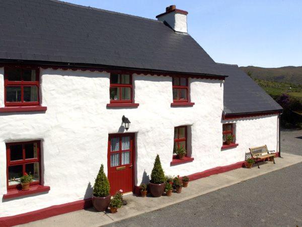
An Ráth Bhán, the white fort, likely sleeps beneath the circular yard where Teeravane houses still cluster. People built that ring to keep out rain, invaders or perhaps fairy mischief, yet human hands later smoothed its edges into a living lane. The fort did not disappear; it became the shape of the village, hiding its ancient boundary inside ordinary walls.
An Ráth Bhán: There is some doubt as to the precise location of this fort. An Seabhac (1939, 104) places it in the village of Teeravane, but it is locally thought to have been located 2 fields to N on the W side of the road. Some of the houses on the N side of the village are grouped around a roughly circular yard and it is possible that this marks the site of the ringfort.
The above description is derived from J. Cuppage (compiler) 'Corca Dhuibhne. Dingle Peninsula archaeological survey.' Ballyferriter. Oidhreacht Chorca Dhuibhne (1986), no. 733. In certain instances the entries have been revised and updated in the light of recent research.
Date of upload: 29 May 2013
The monument record does not grant public access. Check the route and ask the landowner before entering private land.
- What survives
- Recorded monument
Places near here
 Holy well in Baile Eaglaise,tíorabháinHoly well · 802 yd
 Cruach MhárthainMountain / peak · 827 yd
 Hut site in Baile An FheirtéaraighHut site · 951 yd
 Penitential station in Baile An ChalaidhPenitential station · 1705 yd
 Faill na SaorCliff · 1.0 mi
 CúlfhaillCliff · 1.1 mi
 Tráigh ChloichirBeach / strand · 1.1 mi
 St Brendan's WellSpring · 1.1 mi
 Mullach Charraige LéitheMountain / peak · 1.2 mi
 Músaem Chorca DhuibhneMuseum · 1.5 mi
 Séipéal Uinseann Naofa [Saint Vincent's Catholic Church]church/chapel · 1.5 mi
 Caisleán PhiaraisCastle · 1.5 mi