What is recorded here
Half a forgotten circle still stands atop a Limerick hill, its scarped edge and old stone bank marking a boundary that ploughs and time have only partly erased. The fairies may have taken the rest, but the shape remains large enough to walk around and stubborn enough to resist forgetting.
In pasture, atop hill. Monument, depicted as embanked circular enclosure on 1923 OS 6-inch map, has been partially levelled. However, it is still apparent as roughly circular area (33.5m E-W) defined by scarped edge (H 0.55m; Wth 6.2m) WNW->NW and NNE->ENE. A dry-stone field wall (H 0.9m) runs atop an older stone bank (int. H 0.6m; ext. H 0.55m) ENE->SSE, along line of enclosing element. No enclosing element apparent NW->NNE and SSE->WNW. Interior level and under pasture.
Compiled by: Denis Power
Date of upload: 26 August 2011
The monument record does not grant public access. Check the route and ask the landowner before entering private land.
- What survives
- Recorded monument
Places near here
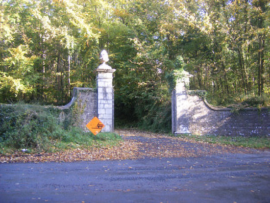 Curragh Chasedemesne walls/gates/railings · 1690 yd
 Castle Hewsoncountry house · 1699 yd
 Dotted outlineChildren's burial ground · 1705 yd
 CairnCairn, unclassified · 1.1 mi
 Curraghchase Forest ParkForest · 1.4 mi
 Little HeavenHeritage attraction · 1.4 mi
 CastleCastle, tower house · 1.5 mi
 European YewEuropean Yew · 1.6 mi
 Derreen Castle (in ruins)Castle, tower house · 2.7 mi
 Flat cemetery in CroaghFlat cemetery · 3.7 mi
 Holly IslandIslet · 4.5 mi
 Adare Tourist OfficeVisitor information · 5.3 mi