What is recorded here
Fairy fort in Three-Gneeves: a 31-metre earthen ring on a south-east slope, with a shallow outer ditch and cultivation ridges still crossing the grass. People may have lived there, fenced it, or forgotten it; the bank remains clear enough to walk around and imagine.
In pasture, on SSE-facing slope. Circular area (31.5m N-S; 31m E-W) enclosed by earthen bank (H 2.05m) SSW->N; scarp elsewhere; with external fosse (D 0.6m) SSW->NNW. Cultivation ridges cross interior on NW-SE axis.
The above description is derived from the published 'Archaeological Inventory of County Cork. Volume 1: West Cork' (Dublin: Stationery Office, 1992). In certain instances the entries have been revised and updated in the light of recent research.
Date of upload/revision: 14 January 2009
The monument record does not grant public access. Check the route and ask the landowner before entering private land.
- What survives
- Recorded monument
Places near here
 Crushnalaniv Cross RoadsBurial ground · 261 yd
 Coulagh FortEnclosure · 698 yd
 William Thompson MemorialMemorial · 1188 yd
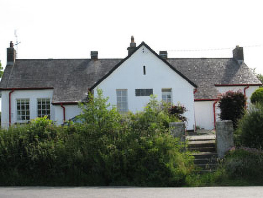 schoolschool · 1206 yd
 CreameryMill, flax · 1668 yd
 CarrigfaddaMountain / peak · 1.5 mi
 Cross commemorating Holy Day.Memorial · 1.6 mi
 Castle SalemCastle · 2.7 mi
 Leap waterfallHeritage attraction · 2.8 mi
 Sitka SpruceSitka Spruce · 3.4 mi
 Myross PointHeadland · 3.4 mi
 Walk 1 - Drombeg Standing Stone Circle (7 - 9 km)Walking route · 3.5 mi