
What is recorded here
In pasture, on gentle W-facing slope. Circular area (13.9m NNE-SSW; 15m NW-SE) enclosed by stone bank (H 0.6m). Stone dumped inside bank to ESE.
The above description is derived from the published 'Archaeological Inventory of County Cork. Volume 1: West Cork' (Dublin: Stationery Office, 1992). In certain instances the entries have been revised and updated in the light of recent research.
Date of upload/revision: 14 January 2009
The monument record does not grant public access. Check the route and ask the landowner before entering private land.
- What survives
- Recorded monument
Places near here
 Crushnalaniv Cross RoadsBurial ground · 678 yd
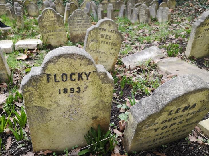 Burial Gd (children) (Disused)Burial ground · 793 yd
 William Thompson MemorialMemorial · 1569 yd
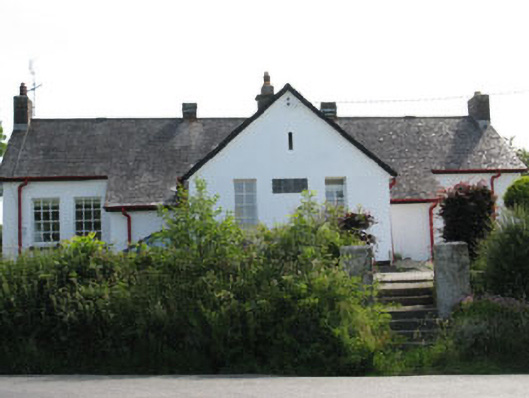 schoolschool · 1579 yd
 CarrigfaddaMountain / peak · 1.1 mi
 CreameryMill, flax · 1.2 mi
 Cross commemorating Holy Day.Memorial · 1.2 mi
 Castle SalemCastle · 2.8 mi
 Leap waterfallHeritage attraction · 3.2 mi
 Sitka SpruceSitka Spruce · 3.8 mi
 Myross PointHeadland · 3.8 mi
 Walk 1 - Drombeg Standing Stone Circle (7 - 9 km)Walking route · 3.8 mi
Other information
Photo: Credit not shown in the picture search · Rights wording not checked; contact us if this picture should be removed