What is recorded here
Fairy fort in Thomastown, County Mayo: a 39-metre earthen ring on a slight rise, still shadowed by a stone fence that leans across its southern edge. People called it a fairy fort because the shape appeared suddenly and refused ordinary explanation. Perhaps humans built it first, then forgot, while the fairies inherited the vacancy and wore it like a ring on their finger.
In rough pasture, atop slight rise. Circular area (39m N-S; 37m E-W), enclosed by low earthen bank (H 0.5m). Site enclosed by stone fence, partly overlies site on S.
The above description has been derived from D. Lavelle (compiler), An Archaeological Survey of Ballinrobe and District including Lough Mask and Lough Carra. Lough Mask and Lough Carra Tourist Development Association (1994), No. 219.
Date of upload: 3 February 2014
The monument record does not grant public access. Check the route and ask the landowner before entering private land.
- What survives
- Recorded monument
Places near here
 LisnatreanduffHilltop enclosure · 924 yd
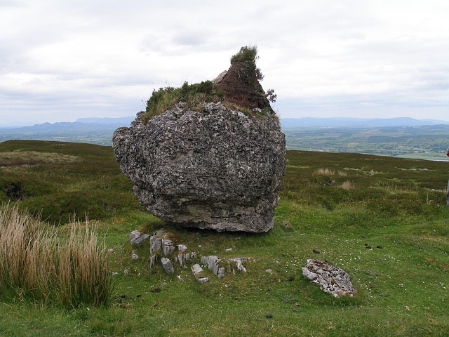 IndicatedFairy fort / earthen ringfort · 1013 yd
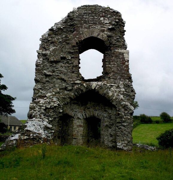 Castle in ruinsCastle, unclassified · 1133 yd
 Church in ruinsChurch · 1251 yd
 Bawn in Kilquire LowerBawn · 1.7 mi
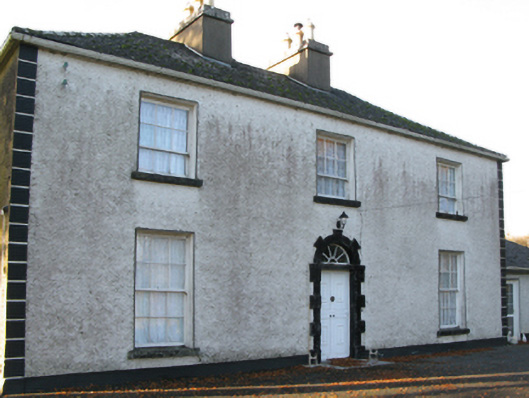 Fort Villefarm house · 1.8 mi
 European ashEuropean ash · 3.0 mi
 SycamoreSycamore · 3.8 mi
 LabbadermotCave · 3.9 mi
 Gibbs IslandsIslet · 5.6 mi
 Easter IslandIslet · 5.8 mi
 Cong AbbeyHeritage attraction · 6.2 mi