What is recorded here
Fairy forts are small ringforts. This one is a D-shaped grassy area with a low southern bank. It sits on a gentle slope in Thomastown. People may have lived here before maps drew it. The earth still holds the shape of that forgotten life.
Situated on a small SW-NE spur towards the bottom of a gentle E-facing slope. A small circular embanked enclosure (ext. diam. c. 25m) is depicted on the 1836 edition of the OS 6-inch map where it is described as a ‘Fort’, and it is depicted as a hachured feature on the 1908 edition. This is a small D-shaped grass-covered area (dims 32m E-W; 24m N-S) with a slight bank (Wth of base 5.5m; int. H 0.6m; ext. H 0.5m) at S, which is largely reduced to a low scarp. There is no visible fosse or identifiable original entrance.
The above description is derived from the published 'Archaeological Inventory of County Meath' (Dublin: Stationery Office, 1987). In certain instances the entries have been revised and updated in the light of recent research.
Compiled by: Michael Moore
Date of revision: 9 January 2019
The monument record does not grant public access. Check the route and ask the landowner before entering private land.
- What survives
- Recorded monument
Places near here
 Enclosure in GalleastownEnclosure · 1108 yd
 MoatFairy fort / earthen ringfort · 1109 yd
 Moat of DiamorCastle, motte and bailey · 1548 yd
 Church in DiamorChurch · 1612 yd
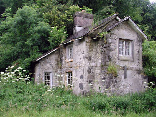 Loughcrew Housegate lodge · 1.0 mi
 Largan WoodWood · 1.2 mi
 Slieve GullionMountain / peak · 1.5 mi
 The Keeper's FieldForest · 1.5 mi
 Slieve Na CalliaghMountain / peak · 1.9 mi
 Earthen TumulusCastle, motte · 2.0 mi
 Loughcrew Megalithic TombsHeritage attraction · 2.0 mi
 LoughcrewMegalithic tomb cemetery · 2.1 mi