What is recorded here
Situated on a natural hillock in undulating grassland, with good views in all directions, overlooked by a higher hillock on which ringfort (WM013-077----) is situated 35m to NW. A sub-circular shaped area (approx. diam. 24m E-W) defined by a scarp which is enclosed by a flat area or berm (Wth 8-10m), defined by a bank with external fosse. The enclosing bank is fragmentary and has several gaps of modern appearance. The interior rises appreciably with vague traces of a possible house site (WM013-078001-) visible in the centre.
See attached profile of monument surveyed and drawn by the ASI.
Compiled by: Frank Coyne and Caimin O'Brien
Date of upload: 23 July 2018
The monument record does not grant public access. Check the route and ask the landowner before entering private land.
- What survives
- Recorded monument
Places near here
 Hachured, RathmoreFairy fort / earthen ringfort · 572 yd
 IndicatedFairy fort / earthen ringfort · 671 yd
 Chapel in ruinsChapel · 1051 yd
 OutlinedCastle, unclassified · 1137 yd
 Church in ruinsChurch · 1211 yd
 Site of Fennor CastleCastle, tower house · 1659 yd
 GinkgoGinkgo · 1.6 mi
 KnockeyonMountain / peak · 5.1 mi
 The FurzeForest · 5.6 mi
 Kells HillMountain / peak · 8.5 mi
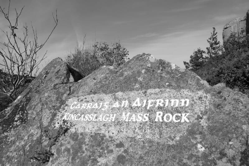 Mass-rock in TevrinMass-rock · 1079 yd
 Ecclesiastical enclosure in CrosserdreeEcclesiastical enclosure · 1214 yd