What is recorded here
Situated on a slight rise in a low-lying area between drumlins to the W and E. An earthwork enclosure is depicted only on McCrea’s map of County Monaghan (1793) at Terrygeely. Its precise location is not known but no archaeological feature is visible on aerial images (OSI Google, Bing).
The above description is derived from the published 'Archaeological Inventory of County Monaghan' (Dublin: Stationery Office, 1986). In certain instances the entries have been revised and updated in the light of recent research.
Compiled by: Michael Moore
Date of revision: 26 February 2018
The monument record does not grant public access. Check the route and ask the landowner before entering private land.
- What survives
- Recorded monument
Places near here
 Glebe Houserectory/glebe/vicarage/curate's house · 219 yd
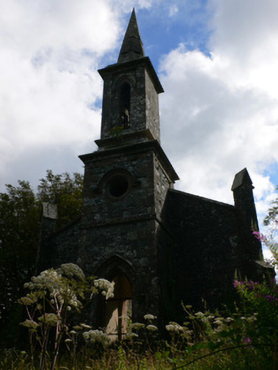 Saint Patrick's Church (Tullycorbet)church/chapel · 295 yd
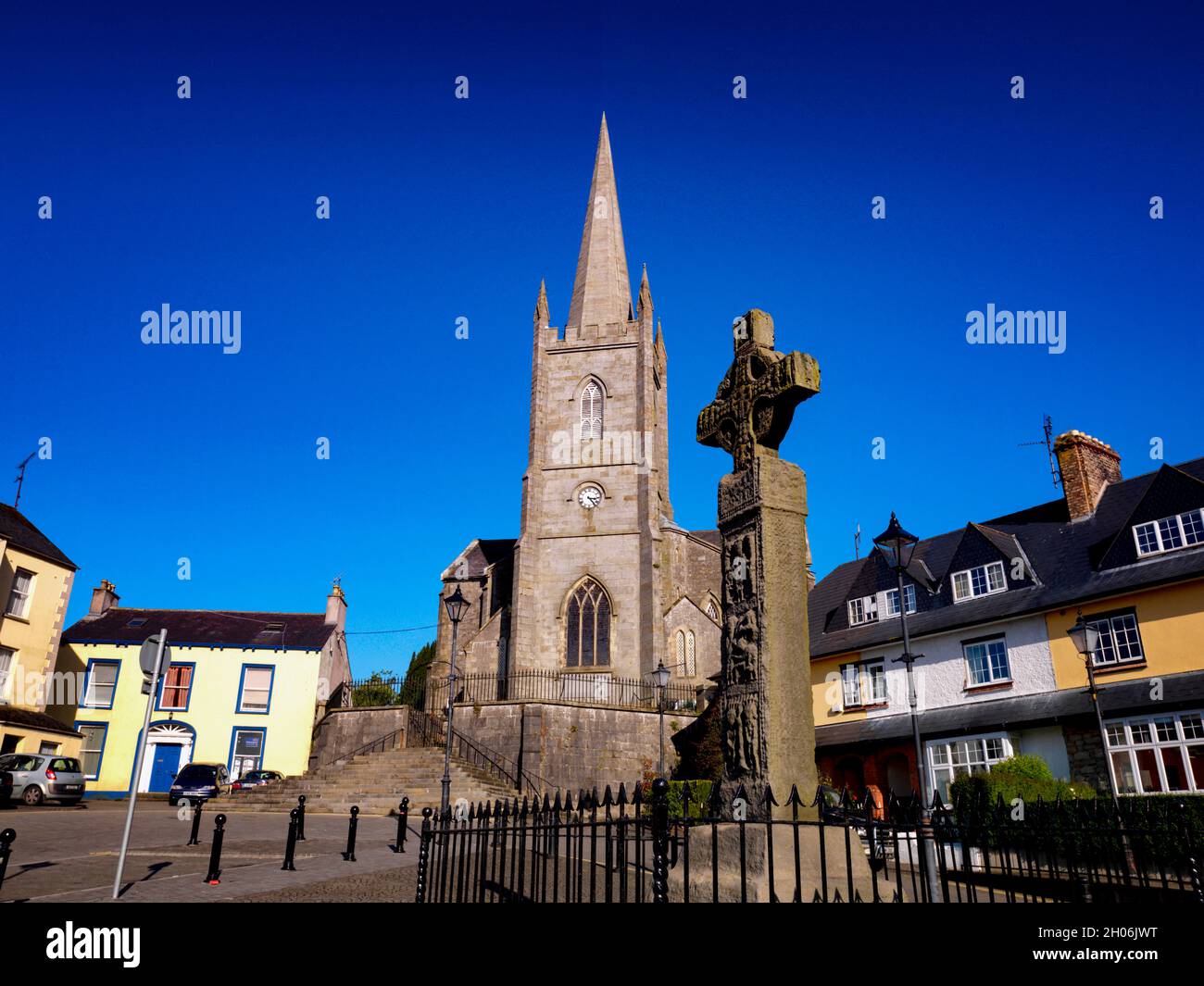 Embanked enclosureFairy fort / earthen ringfort · 1.6 mi
 IndicatedCrannog · 1.6 mi
 The Rabbit BurrowWood · 3.5 mi
 Castleshane WaterfallWaterfall · 3.6 mi
 Battle of ClontibretBattlefield · 3.6 mi
 Knockamaddy Big WoodWood · 3.7 mi
 Rossmore MausoleumHeritage attraction · 4.8 mi
 Giant Redwood (1862)Heritage attraction · 5.0 mi
 Bawn in Roosky (monaghan By., Monaghan Par.)Bawn · 5.5 mi
 Rossmore MonumentMemorial · 5.5 mi