What is recorded here
Mortons and others still call it a fairy fort, but measurements show an earthen ringfort: a roughly circular enclosure forty-three metres north-south and forty-one metres east-west, with a one-and-a-half-metre bank, a steep-sided fosse up to one point eight metres deep and four metres wide, and a causewayed entrance two point two metres wide opening south. It sits in pasture on a south-facing slope in Templenoe, its interior sloping gently downward, deciduous trees growing along the bank. Whether people lived there, excluded others, or simply marked a boundary has never been spoken plainly; the shape still keeps its own counsel.
In pasture, on S-facing slope. Roughly circular area (43m N-S; 41m E-W) enclosed by earthen bank (int. H 1.5m) planted with deciduous trees; external fosse (max. D 1.8m). Fosse steep sided with flat base (Wth 4m). Causewayed entrance (Wth 2.2m) to S. Interior slopes down gently to S.
The above description is derived from the published 'Archaeological Inventory of County Cork. Volume 4: North Cork' (Dublin: Stationery Office, 2000). In certain instances the entries have been revised and updated in the light of recent research.
Date of upload/revision: 14 January 2009
The monument record does not grant public access. Check the route and ask the landowner before entering private land.
- What survives
- Recorded monument
Places near here
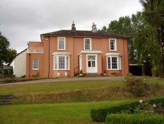 Templenoe Househouse · 461 yd
 Enclosure in Cregg NorthEnclosure · 517 yd
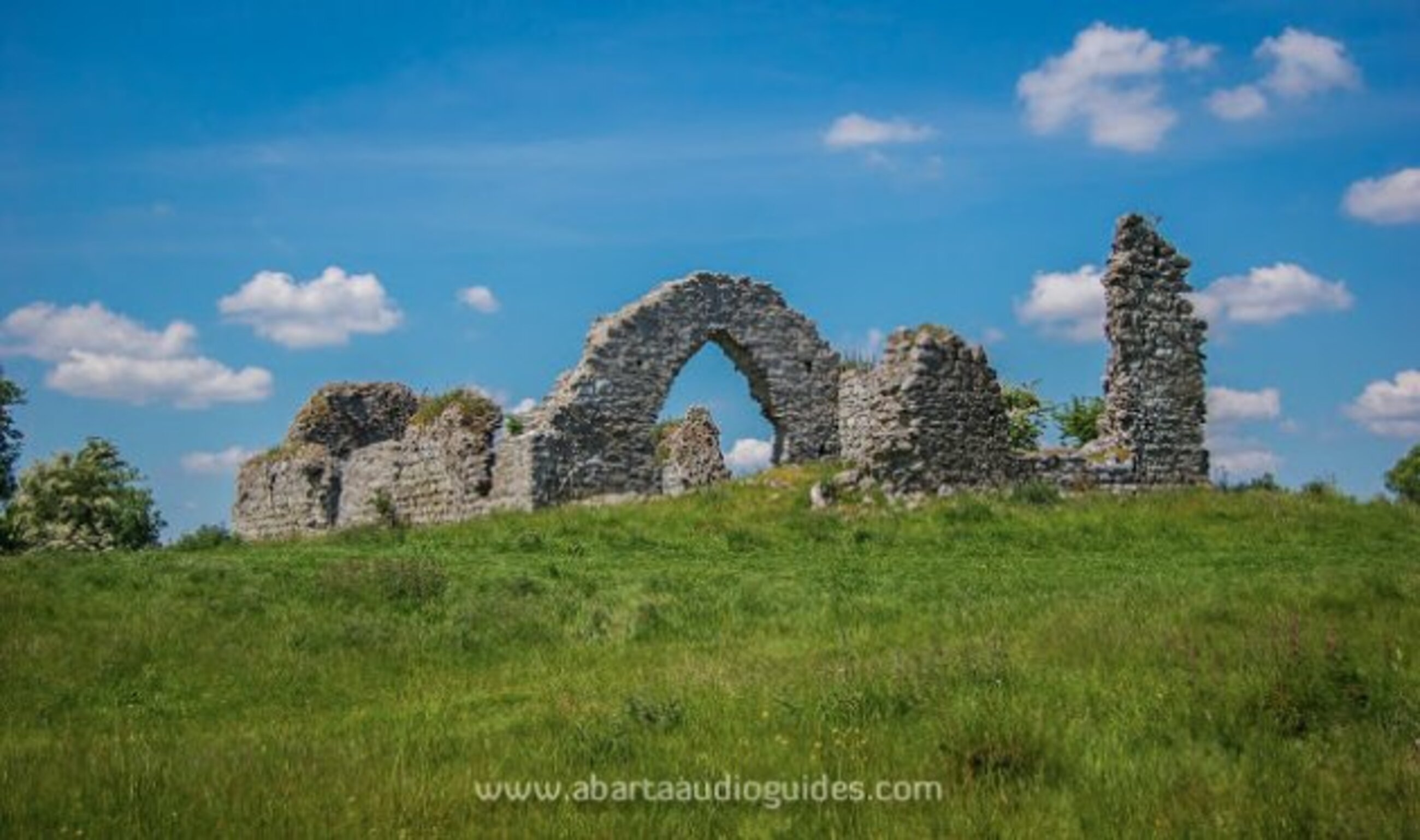 Settlement desertedSettlement deserted, medieval · 532 yd
 Cregg Castle (in Ruins)Castle, tower house · 1064 yd
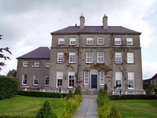 Cregg Housecountry house · 1127 yd
 Castle Hyde (in Ruins)Castle, tower house · 1.5 mi
 Johnson's WoodForest · 2.4 mi
 Cappagh XViewpoint · 2.7 mi
 Priest's WoodForest · 2.8 mi
 Blackwater (Avondhu) WayWalking route · 2.9 mi
 Graveyard in BoherashGraveyard · 3.0 mi
 Liam BurkeMemorial · 3.4 mi