What is recorded here
Fairy fort / earthen ringfort in Templemichael Glebe: On a SW-facing ridge in pasture, a circular enclosure marked ‘Fort’ on the 1837 OS map has vanished from ground level, leaving only grass and memory. Perhaps people stopped going there when the shape faded, or perhaps the field took it back. Either way, the ridge keeps a hole where a fort should be.
On a SW-facing ridge in pasture. Depicted as a circular enclosure with the designation 'Fort' on the 1837 ed. of the OS 6-inch map. The monument is not visible at ground level.
Compiled by: Patrick F. O'Donovan
Date of upload: 26 August 2011
The monument record does not grant public access. Check the route and ask the landowner before entering private land.
- What survives
- Recorded monument
Places near here
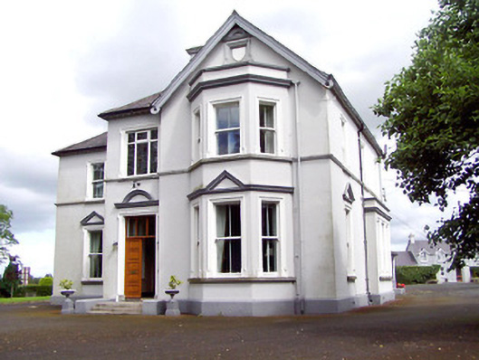 Saint Michael'sbishop's palace · 69 yd
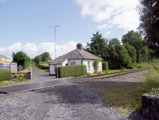 worker's houseworker's house · 491 yd
 Fulacht fia in LisnamuckFulacht fia · 856 yd
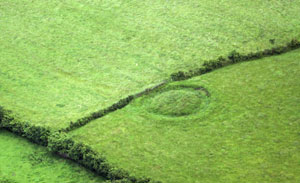 Fairy fort / earthen ringfort in ArdnacassaghFairy fort / earthen ringfort · 978 yd
 Saint Mel's CathedralCathedral · 1078 yd
 First World War MemorialMemorial · 1316 yd
 Bawn in AbbeycartronBawn · 1487 yd
 CastleCastle, Anglo-Norman masonry castle · 2.8 mi
 Graveyard in Curry (ardagh By., Coolamber Ed)Graveyard · 3.3 mi
 Commons North WalkVisitor information · 9.5 mi
 Wild birdsVisitor information · 9.7 mi
 White Sand WoodWood · 10.0 mi