What is recorded here
Situated on a slight rise, on level ground, in densely overgrown area to rear of modern houses. Raised roughly circular area (diam. c.20m) enclosed by a broad bank of earth and stone (Wth c.4m; int. H c.0.3m). There is no fosse visible at ground level. The bank appears to enclose the site on all sides and has a uniform profile where partially accessible NW-N. The bank has been incorporated into modern property boundaries NNE-E and modern houses have been constructed 15m to the NW and SE of the site. The original entrance is not recognisable.
Compiled by: Patrick F. O'Donovan
Date of upload: 21 April 2011
The monument record does not grant public access. Check the route and ask the landowner before entering private land.
- What survives
- Recorded monument
Places near here
 Fairy fortArchaeological place · 3 yd
 Enclosure in Magheragillerneeve OR SpringfieldEnclosure · 487 yd
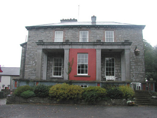 Mountshannon Housecountry house · 1281 yd
 Flour millMill, unclassified · 1607 yd
 European BeechEuropean Beech · 1.6 mi
 Famine MemorialMonument · 1.9 mi
 Drumcliff CemeteryGraveyard · 1.9 mi
 Grave of WB YeatsHeritage attraction · 1.9 mi
 Model Niland GalleryHeritage attraction · 2.0 mi
 CastleCastle, unclassified · 2.4 mi
 Castle (in Ruins)Castle, unclassified · 3.0 mi
 Kings MountainMountain / peak · 3.1 mi