What is recorded here
Mangerton Mountain watches the SW-facing slope where Teernaboul's ringfort holds its shape. A broad earthen bank and deep fosse still mark the circle, though pasture and time have softened the edges. People may have lived inside, raised children, argued, loved, and vanished. The fort remains visible enough to prove that human life once shaped this ground.
In pasture, on a SW-facing slope with views to Mangerton Mountain. A circular area (43m NE-SW; 42m NW-SE) defined by the remains of an earthen bank (Wth 9m; int. H 0.8m; ext. H 1.8m) SE-NE and by a scarp (H 0.45m) NE-SE. The fosse, S-NE, is substantial where it is skirted by the townland boundary S-NNW and is shallower (D 0.45m) NNW-NE. A possible outer bank is evident as a low rise along the N arc. The interior, which has been slightly raised to compensate for the hillslope, slopes down gently to the SW.
Compiled by: Elizabeth Byrne, Ursula Egan and Sheila Ronan, Archaeological Survey Unit, University College, Cork.
Date of upload: 31 January 2011
The monument record does not grant public access. Check the route and ask the landowner before entering private land.
- What survives
- Recorded monument
Places near here
 Mass RockNamed rock · 544 yd
 Woodfordhouse · 584 yd
 Lissivigeen Stone CircleHeritage attraction · 648 yd
 Enclosure in ParkEnclosure · 753 yd
 Flesk CastleCastle · 1184 yd
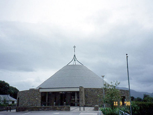 Catholic Church of the Resurrectionchurch/chapel · 1268 yd
 Fairy fort / earthen ringfort in FaghbaneFairy fort / earthen ringfort · 1597 yd
 Sheheree Bog Nature ReserveNature reserve · 1.4 mi
 Killarney First World War MemorialMemorial · 1.5 mi
 Jaunting ToursHeritage attraction · 1.6 mi
 Kerry 2nd Brigade of the Irish Republican ArmyMemorial · 1.7 mi
 GinkgoGinkgo · 1.8 mi