What is recorded here
Forty years of concrete and machinery have not erased the circle. The fort still marks its own edge, twenty-eight metres across, with a low bank that resistance and neglect have not fully broken. What was built to exclude now excludes only observation. The industry around it has changed tools several times. The circle has not changed at all.
In a level area within an industrial zone and with restricted access. A circular overgrown and inaccessible area (diam. c. 28m) defined by a low overgrown earthen bank (H c. 0.8m). There is some erosion of the bank at NE. A mound of earth is piled against the external face of the bank at S. A concrete yard extends to the external base of the bank. The rath is indicated as a circular enclosure (diam. c. 35m) on the 1846 and 1893-4 OS 6-inch maps.
Compiled by: Elizabeth Byrne, Ursula Egan and Sheila Ronan, Archaeological Survey Unit, University College, Cork.
Date of upload: 31 January 2011
The monument record does not grant public access. Check the route and ask the landowner before entering private land.
- What survives
- Recorded monument
Places near here
 Mass RockNamed rock · 524 yd
 Enclosure in ParkEnclosure · 581 yd
 Lissivigeen Stone CircleHeritage attraction · 743 yd
 Woodfordhouse · 818 yd
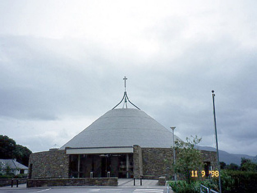 Catholic Church of the Resurrectionchurch/chapel · 1308 yd
 IndicatedFairy fort / earthen ringfort · 1366 yd
 Flesk CastleCastle · 1413 yd
 Killarney First World War MemorialMemorial · 1.5 mi
 Sheheree Bog Nature ReserveNature reserve · 1.6 mi
 Jaunting ToursHeritage attraction · 1.6 mi
 Kerry 2nd Brigade of the Irish Republican ArmyMemorial · 1.7 mi
 GinkgoGinkgo · 1.8 mi