What is recorded here
Half a kilometre of bare ridge stands above the valley, and at its centre a grassy circle holds its shape against centuries of rain. The earthen bank still rises two metres at the western edge, thick enough to block a cart wheel, while the eastern side has surrendered to a field boundary. People called it a fairy fort because the entrance vanished, leaving no obvious gap for human reason to find. What is missing may be the point: the circle completed itself without asking permission, and the fairies never needed a door they could not see.
Situated on top of, and at the centre of, a prominent E-W drumlin ridge (L of top c. 350m E-W). This is a grass-covered subcircular area (int. dims 34m E-W; 29.5m N-S) defined by an earthen bank with some bushes SW-N, best preserved at W (Wth 5.3m; int. H 1.2m; ext. H 1.9m), which is incorporated into a field bank at E and reduced to a scarp (max. H 2.3m) elsewhere. The original entrance is not identified.
The above description is derived from 'The Archaeological Inventory of County Leitrim' compiled by Michael J. Moore (Dublin: Stationery Office, 2003). In certain instances the entries have been revised and updated in the light of recent research.
Date of upload: 23 September 2008
The monument record does not grant public access. Check the route and ask the landowner before entering private land.
- What survives
- Recorded monument
Places near here
 Castle CarCastle · 1027 yd
 Church (in Ruins)Church · 1372 yd
 Not inidcatedEnclosure · 1727 yd
 IndicatedFairy fort / stone ringfort · 1.1 mi
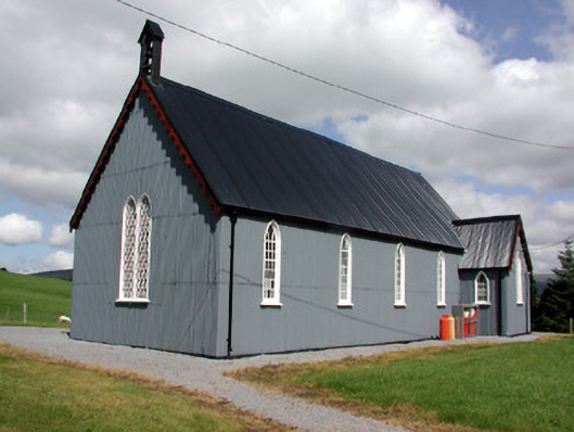 Lurganboy Church (Killasnet)church/chapel · 1.4 mi
 Longhill WoodForest · 1.7 mi
 BenboMountain / peak · 1.8 mi
 Ashisland WoodForest · 1.9 mi
 Giants RockNamed rock · 2.6 mi
 Kilroosk RockNamed rock · 3.5 mi
 Keelogyboy Mountain NE TopMountain / peak · 3.9 mi
 The Giants GraveArchaeological place · 4.2 mi