What is recorded here
Fairy forts and fairies have no more connection than a name. A levelled arc of earth, a shallow fosse, and a forgotten well mark a small human dwelling in Taur More. The fairies are a later story laid over an ordinary life.
In pasture, on ESE-facing slope. Depicted as hachured arc (diam. c. 30m E-W) forming bank E->WNW on 1936 OS 6-inch map. Levelled; arc formed by earthen bank (int. H 0.7m) with external fosse (D 0.7m) survives SE->S. Well dug next to bank and fosse at SE. Coniferous trees planted in immediate area.
The above description is derived from the published 'Archaeological Inventory of County Cork. Volume 4: North Cork' (Dublin: Stationery Office, 2000). In certain instances the entries have been revised and updated in the light of recent research.
Date of upload/revision: 14 January 2009
The monument record does not grant public access. Check the route and ask the landowner before entering private land.
- What survives
- Recorded monument
Places near here
 Quarry in Taur MoreQuarry · 544 yd
 TaurMountain / peak · 632 yd
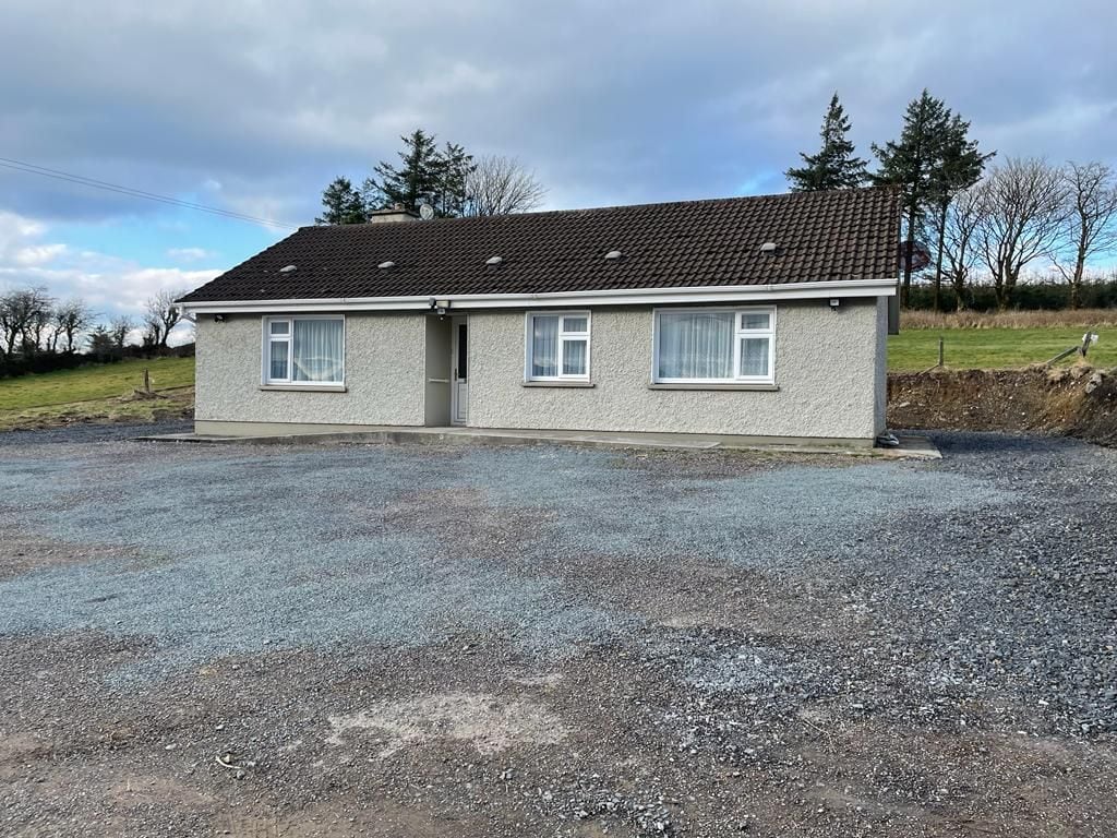 Enclosure in Taur MoreEnclosure · 754 yd
 Church of the Holy Spiritchurch/chapel · 1.1 mi
 Man-made underground passage in GlenlaraMan-made underground passage · 1.6 mi
 KnockacummerMountain / peak · 2.4 mi
 Castle McAuliffe (Site of)Castle, unclassified · 5.1 mi
 CastleCastle, unclassified · 5.4 mi
 Mullaghareirk - Banane LoopWalking route · 5.9 mi
 Three CountiesPicnic place · 6.0 mi
 Nohaval WoodWood · 10 mi
 Kanturk CastleHeritage attraction · 10 mi