What is recorded here
Fairy fort / earthen ringfort in Tarmon East is a bivallate platform rath in County Kerry, Ireland, with an internal diameter of 47.6m N-S and 45m E-W. Its raised circular area stands .6m-lm above a deep, wide fosse averaging 3.6m across, while a second curving bank runs 34m beside the main enclosure. Fieldbanks still trap the whole ring inside ordinary farmland, making the ancient boundary feel both forgotten and deliberately kept.
Internal diameter 47.6m N-S, 45m E-W
This bivallate platform rath is situated NE of KE006-005---- and is completely enclosed by fieldbanks. This rath consists of a raised circular area .6m-lm high above the enclosing fosse. Where the fosse is distinguishable it is deep, wide and well defined, on average 3.6m in width. The enclosing bank can really only be distinguished N through W to SW, where it is 3.4m wide and about lm high. Immediately W of this bank there would appear to be a second bank that curves around the enclosing bank for 34m; it is 5m wide and c 1.3m high. The intervening fosse between the enclosing and second bank is also well defined and 3m in width.
The above description is derived from C. Toal, ‘North Kerry Archaeological Survey’. Dingle. Brandon in association with FAS Training and Employment Authority (1995), no. 327. In certain instances the entries have been revised and updated in the light of recent research.
Date of upload: 2 August 2013
The monument record does not grant public access. Check the route and ask the landowner before entering private land.
- What survives
- Recorded monument
Places near here
 Tarmon Castle (in ruins)Castle, unclassified · 932 yd
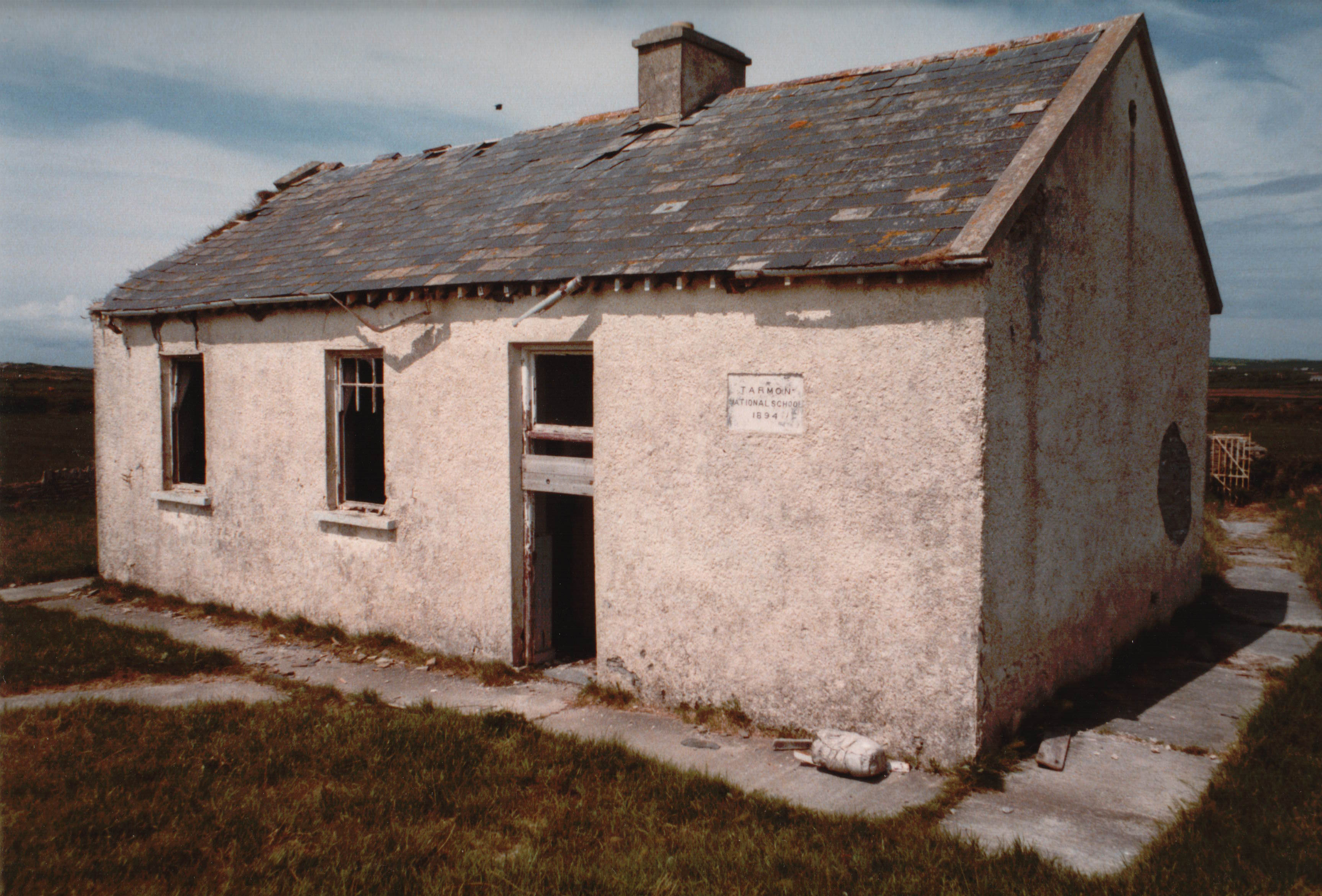 Enclosure in Tarmon EastEnclosure · 1057 yd
 LissymilleenArchaeological place · 1508 yd
 Ballygoghlan National Schoolschool · 1.3 mi
 Ballydonohoe Househouse · 2.0 mi
 Tarbet BayBay · 2.5 mi
 Castle (in ruins)Castle, unclassified · 2.6 mi
 Mountshannon WoodWood · 5.4 mi
 Mountshannon PointHeadland · 5.8 mi
 Lawson's CypressLawson's Cypress · 5.9 mi
 Siege of Carrigafoyle Castlesiege · 6.2 mi
 Carrig IslandIsland · 6.5 mi