What is recorded here
In Tarmon East, a broken earthen ring still marks the corner of a field, its western gap exposing the void where the circle once closed. The fort measured thirty-two metres across before human hands cut it into a half-moon, reducing a complete dwelling or defensive space to a fragment. It is not certain whether the loss came from farming, forgetting or deliberate erasure, but the earth still holds the shape of the missing part.
Internal diameter 32m E-W
This site appears on the 1841-42 OS map as a circular enclosure, but by the later edition it has been cut by fieldbanks. Today this site is situated in a corner of a field, with a fieldbank cutting the site to the N to E and another running immediately S to E. What remains of this site is a semi-circular earthen bank that rises to a maximum of 1.7m above the surrounding land and 1.2m above the interior. The width of the bank at the base measures c4m. A 2.4m wide gap appears in the W sector of the bank.
The above description is derived from C. Toal, ‘North Kerry Archaeological Survey’. Dingle. Brandon in association with FAS Training and Employment Authority (1995), no. 324. In certain instances the entries have been revised and updated in the light of recent research.
Date of upload: 2 August 2013
The monument record does not grant public access. Check the route and ask the landowner before entering private land.
- What survives
- Recorded monument
Places near here
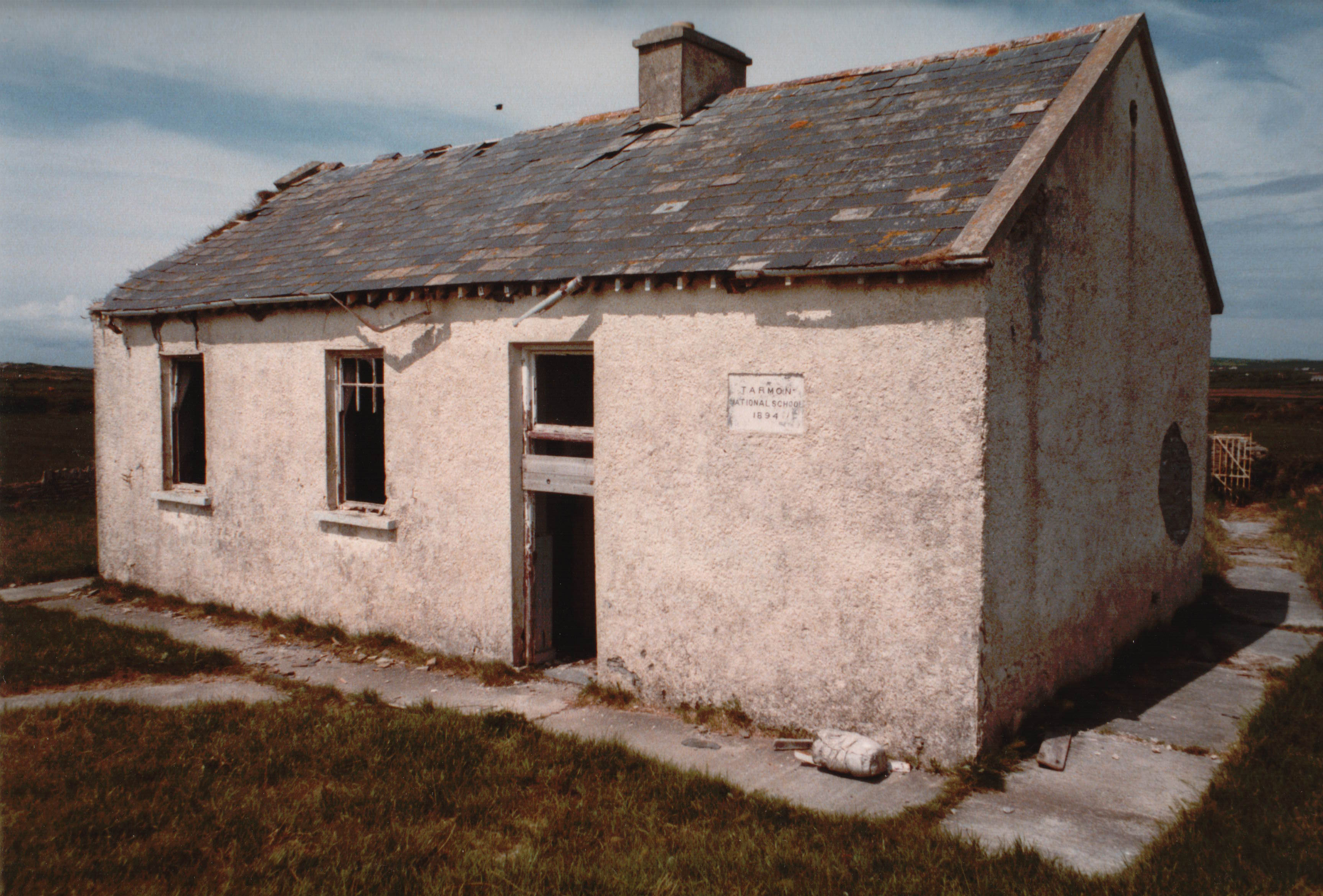 Enclosure in Tarmon EastEnclosure · 822 yd
 Tarmon Castle (in ruins)Castle, unclassified · 871 yd
 LissymilleenArchaeological place · 1070 yd
 Ballygoghlan National Schoolschool · 1.8 mi
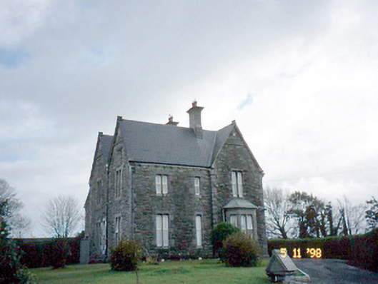 The Presbyterypresbytery/parochial/curate's house · 2.0 mi
 Tarbet BayBay · 2.6 mi
 Castle (in ruins)Castle, unclassified · 2.9 mi
 Mountshannon WoodWood · 5.7 mi
 Siege of Carrigafoyle Castlesiege · 5.8 mi
 Ballymacrinan BayBay · 5.9 mi
 Carrig IslandIsland · 6.0 mi
 Lawson's CypressLawson's Cypress · 6.1 mi