What is recorded here
Fairy fort in Sunnagh More, County Leitrim: a grass-covered ring about thirty-six metres across, still holding a two-metre earthen bank and an outer ditch on the drumlin slope. The north gap may be the entrance or may be where people stopped the ring being complete. Either way it is a made shape, not a random heap, and it still asks to be walked around before judging it.
Situated just off the crest to the NE of a slight N-S ridge which is on the NW-facing slope of a drumlin. This is a grass-covered circular area (int. diam. 37.6m E-W; 35.6m N-S) defined by an overgrown earthen bank (Wth of base 5m; int. H 1.2m; ext. H 2m) except at N where it has been removed, and an external fosse (Wth of top 6.5m; Wth of base 3.5m; ext. D 1.2m). The original entrance is not identified.
The above description is derived from 'The Archaeological Inventory of County Leitrim' compiled by Michael J. Moore (Dublin: Stationery Office, 2003). In certain instances the entries have been revised and updated in the light of recent research.
Compiled by: Michael Moore
Date of upload: 23 September 2008
Amended: 9 December, 2019
This remains an important historical record, but the official description says the monument is no longer visible or has been destroyed. The monument record does not grant public access. Check the route and ask the landowner before entering private land.
- What survives
- No visible remains or recorded as destroyed
Places near here
 Giant's GraveArchaeological place · 1281 yd
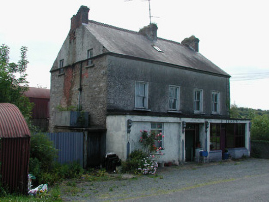 Dillon'shouse · 1707 yd
 Church in Cloone (mohill By.)Church · 1.1 mi
 CrossCross, High cross · 1.1 mi
 Sessile OakSessile Oak · 1.3 mi
 IndicateedHoly well · 1.4 mi
 North Midland Transport CollectionMuseum · 3.1 mi
 Little IslandIslet · 4.3 mi
 Duck IslandIslet · 4.3 mi
 Turlough O'Carolan MonumentHeritage attraction · 4.3 mi
 Lawson's CypressLawson's Cypress · 4.7 mi
 CastleCastle, tower house · 4.9 mi