What is recorded here
Situated on a rise towards the bottom of a W-facing slope. This is a raised subcircular grass-covered area (dims 32m N-S; 26.6m E-W) that slopes down to the SW. It is defined by a scarp (at NE: Wth 6m; H 3.2m; at SW: Wth 8m; H 4m) surrounded by a berm (Wth 5m at NE to 10m at SW) NE-S-WNW which is on the site of the fosse and a levelled outer bank. The berm is now defined by a scarp (at NE: Wth 4m; H 2m; at SW: Wth 12m; H 2m). The highest point of the interior is at NE where there is a level area (diam. 13m). The original entrance is not identified but a ramp (Wth of top 3.4m) at SW at the lowest point of the interior is probably secondary as it rises from an ancient quarry on the berm. A field bank ran along the top of the outer scarp N-E in 1984 (SMR file) but it had been removed by 1995 (OSAP).
The above description is derived from the published 'Archaeological Inventory of County Meath' (Dublin: Stationery Office, 1987). In certain instances the entries have been revised and updated in the light of recent research.
Compiled by: Michael Moore
Date of upload: 10 July 2007
Revision: 15 December 2022
The monument record does not grant public access. Check the route and ask the landowner before entering private land.
- What survives
- Recorded monument
Places near here
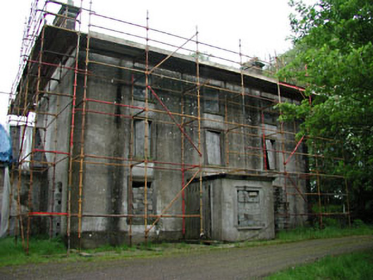 Stephenstown Housecountry house · 655 yd
 IndicatedEnclosure · 846 yd
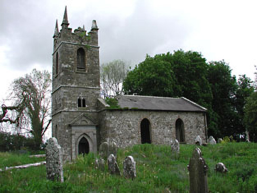 Saint Patrick's Church (Castletown)church/chapel · 1263 yd
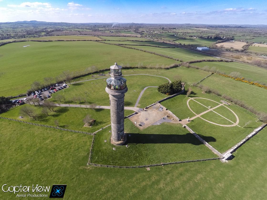 Trinity WellHoly well · 1424 yd
 HeadstownMountain / peak · 1.1 mi
 Headstown ForestForest · 1.2 mi
 Castletown FortCastle, motte and bailey · 1.2 mi
 Ugly HillMountain / peak · 1.2 mi
 Stokestown CastleCastle, unclassified · 1.3 mi
 Fox CovertWood · 1.9 mi
 Nobber GreenwayMemorial · 2.6 mi
 Owenroe and Moynalty DrainageMemorial · 4.5 mi