What is recorded here
Located at the outer edge of a shelf at the bottom of an E-facing slope and c. 200m W of a N-S meandering section of the Mattock River. A small circular embanked enclosure (ext. diam. c. 30m) annotated as a ‘Fort’ is depicted on the 1836 edition of the OS 6-inch map and it is represented as a hachured feature on the 1908 edition. It was described in 1968 (SMR file) as an oval grass and scrub-covered platform (dims 25m N-S; 15m E-W) defined by an earthen bank NW-N and NNE-E (Wth of base 5.9m; int. H 0.45m; ext. H 1.8m) but it was partly destroyed by old overgrown quarries at E (diam. 9.5m) and SW. However, occasional traces of a defining scarp (at ESE: H 0.9m) remained. There was no visible fosse and the original entrance was not identified. Archaeological testing (04E0359) by C. Duffy (2004) c. 150m to the N discovered one pit (dims 1.1m x 0.6m; D 0.22m) with burnt mound material (excavations.ie 2004:1343) which is unrelated to this monument.
The above description is derived from the published 'Archaeological Inventory of County Meath' (Dublin: Stationery Office, 1987). In certain instances the entries have been revised and updated in the light of recent research.
Compiled by: Michael Moore
Date of upload: 10 July 2007
Amended: 3 August 2022
The monument record does not grant public access. Check the route and ask the landowner before entering private land.
- What survives
- Recorded monument
Places near here
 Monasterboice Housedemesne walls/gates/railings · 414 yd
 Drummond TowerCastle · 732 yd
 Hurcle HillMountain / peak · 1471 yd
 Irish Military Museum And ParkMuseum · 1563 yd
 Monasterboice Ho.House, medieval · 1577 yd
 European ashEuropean ash · 1.1 mi
 Pedunculate OakPedunculate Oak · 1.1 mi
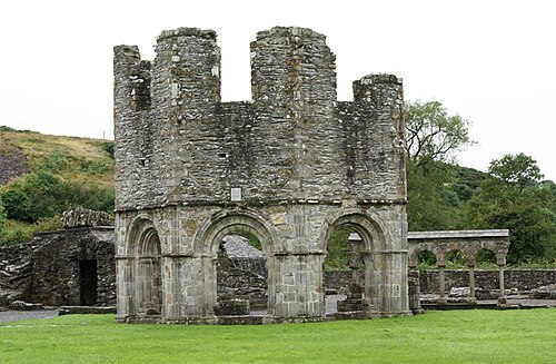 Mellifont AbbeyHeritage attraction · 1.2 mi
 Enclosure in BarabonaEnclosure · 1.2 mi
 Fulacht fia in CoolforeFulacht fia · 1.2 mi
 BarabonaMountain / peak · 1.4 mi
 Grove IslandIslet · 3.0 mi