What is recorded here
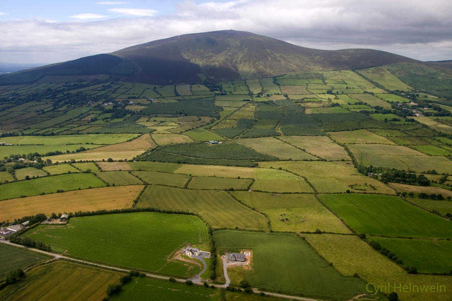
In disused, ungrazed pasture, on a steep W-facing slope. An oval area (dims. 43m N-S; 40m E-W) defined by a bank (overall Wth 8.15; Wth at top 2.2m; int. H 0.7m; ext. H 2.05m); wide, flat-bottomed intervening fosse (overall Wth 7.3m; basal Wth 2.5m; D 1.55m) NW-SW; substantial intervening bank (overall Wth 6.45m; Wth at top 2.25m; int. H 1.55m; ext. H 2.75m) NW-SW and outer fosse (overall Wth 4.25m; basal Wth 1.25m; D 1.35m) which from NW-E-SW is choked with vegetation for the most part and is truncated by field boundary across W-arc; a stream enters at E. The inner bank is largely obscured by vegetation and has a possible entrance (Wth 4m) in the NW sector. The interior slopes steeply to the W and the perimeter is obscured by dense vegetation.
Compiled by: Jean Farrelly
Date of upload: 26 August 2011
The monument record does not grant public access. Check the route and ask the landowner before entering private land.
- What survives
- Recorded monument
Places near here
 LismoynanEnclosure · 739 yd
 Enclosure in Lismoynan,st. JohnstownEnclosure · 798 yd
 Peppardstown Househouse · 893 yd
 Saint Johnstown CastleCastle · 1046 yd
 St. Johnstown ChurchChurch · 1048 yd
 CastleCastle, unclassified · 1.3 mi
 Eagle HillMountain / peak · 2.2 mi
 Kilknockan HillMountain / peak · 2.7 mi
 East GateMemorial · 3.8 mi
 European YewEuropean Yew · 3.8 mi
 Pedunculate OakPedunculate Oak · 4.5 mi
 Gobban Saer's GraveArchaeological place · 6.6 mi