What is recorded here
No fairy appears in the facts, but a D-shaped earthen bank stood at the east end of a Monaghan drumlin ridge, offering a small enclosed life before field banks cut through it. The quarry pierced the centre like a hungry mouth, taking earth to build elsewhere. People may have lived inside the thin curve or simply passed through the southwest gap, unaware they walked through a forgotten room. The land kept the shape until humans removed even that much.
Located towards the E end of an E-W drumlin ridge. This was described in 1967 as a D-shaped area (dims 31m NNE-SSW; c. 19m WNW-ESE) defined by an earthen bank (at N: Wth 2.9m; int. H 0.2m; ext. H 1.3m) SSW-W-NE, but it was cut by a N-S field bank at E and an E-W field bank at S and did not survive beyond these features. There was no visible fosse and the only entrance was a gap (Wth 3m) at SW. An oval quarry (dims 10.1m NW-SE; 2m NE-SW; max. D 0.8m) extended from the centre through the perimeter at NW. This surviving part was removed in 1996 (SMR file).
The above description is derived from the published 'Archaeological Inventory of County Monaghan' (Dublin: Stationery Office, 1986). In certain instances the entries have been revised and updated in the light of recent research.
Date of revision: 31 January 2018
The monument record does not grant public access. Check the route and ask the landowner before entering private land.
- What survives
- Recorded monument
Places near here
 Man-made underground passage in OuvryMan-made underground passage · 1462 yd
 Enclosure in CorrinentyEnclosure · 1.1 mi
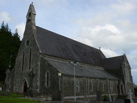 Saint Michael's Catholic Churchchurch/chapel · 1.2 mi
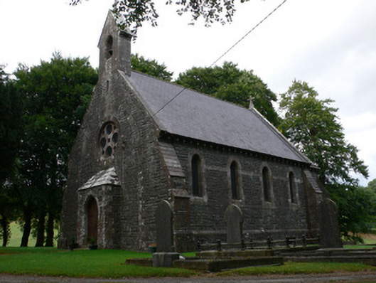 Saint Patrick's Church (Magheross)church/chapel · 1.4 mi
 Tally WoodWood · 2.0 mi
 RaferaghMountain / peak · 2.3 mi
 Sillan LakeshoreWood · 2.6 mi
 Bawn in LisdrumskeaBawn · 2.7 mi
 CarrickcreenyMountain / peak · 2.7 mi
 Bush IslandIslet · 2.7 mi
 Gull IslandIslet · 2.8 mi
 Senator Billy Fox 1939 - 1974Memorial · 4.2 mi