What is recorded here
No amount of thinking can invent the hidden camera, the dead platform or the missing website.
Situated on top of a N-S ridge in upland area. Domed circular area (diam 35m; ext. H 0.5m) enclosed by wide flat berm (Wth 4.5 - 6m; ext. H 1m) , inner bank (Wth 2m) which is reduced to a scarp in most places with enclosing fosse (Wth 2m) and external bank (Wth 2m) which is constructed mainly with stone. The outer bank and fosse are destroyed at E while the inner bank is best preserved at S where there is evidence of external stone facing. Field fence intersects site at S. No entrance feature visible.
The above description is derived from the published 'Archaeological Inventory of County Offaly' (Dublin: Stationery Office, 1997). In certain instances the entries have been revised and updated in the light of recent research.
Date of upload: 23 May 2011
The monument record does not grant public access. Check the route and ask the landowner before entering private land.
- What survives
- Recorded monument
Places near here
 OCarrolls Castle (in Ruins)Bawn · 1567 yd
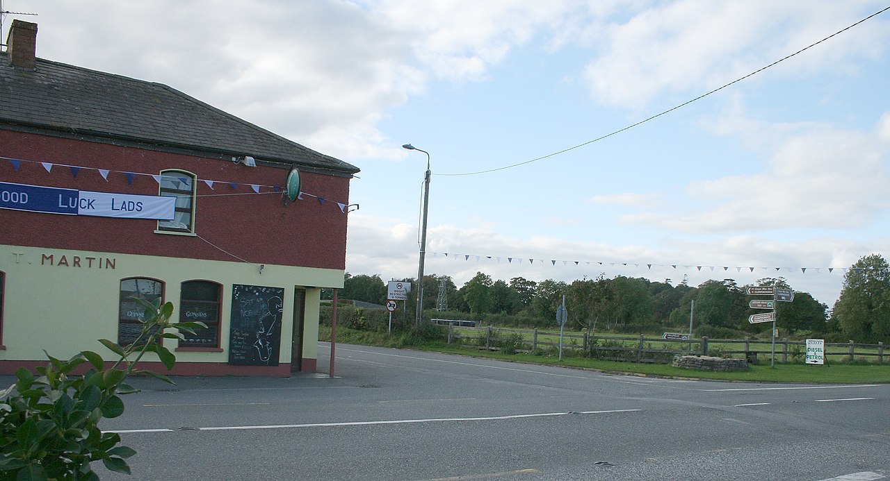 Partially indicatedCliff-edge fort · 1716 yd
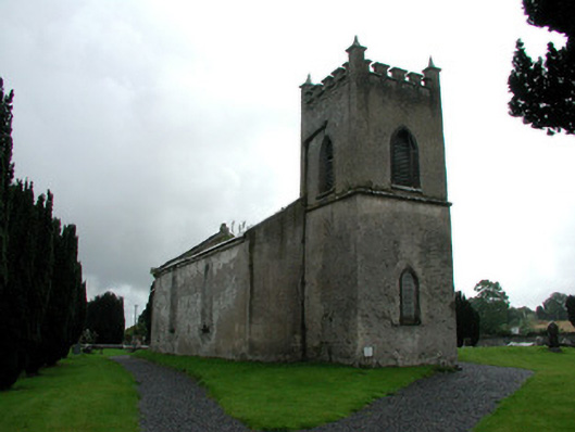 Saint Mark's Church (Ettagh)church/chapel · 1.1 mi
 Grave YardGraveyard · 1.1 mi
 Horan's WoodWood · 1.3 mi
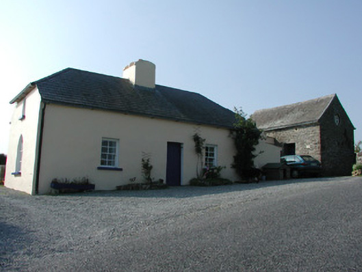 worker's houseworker's house · 1.4 mi
 Leap CastleCastle · 1.5 mi
 CastleCastle, tower house · 1.5 mi
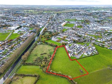 Ballywilliam WoodWood · 1.7 mi
 Eagle HillMountain / peak · 2.5 mi
 Golden Grove HillMountain / peak · 2.6 mi
 Saint Kieran's WellSpring · 3.8 mi