What is recorded here
Fairy fort in Srahanbregagh: a 35 m earthen ring on an upland slope, its bank worn to a scarp and its outer edge pressed into a field boundary. The causewayed gap at the south still marks the entrance, even though a silage pit has buried part of the interior. People may have lived there before the land was farmed around it, but the shape has outlasted every claim to explain it.
Situated on SW facing slope of rising ground in upland area. Large raised circular area (diam 35m; ext. H 1.5m) enclosed by an earth and stone bank severely eroded to a scarp in most places with enclosing fosse (Wth 5m; ext. D 0.5m) and possible outer bank (Wth. 2m; ext. H 1m; int. H 0.5m) now used as a field boundary which appears to mainly consist of field clearance material. Causewayed entrance gap (Wth 2.5m) at S. The interior is poorly preserved with spoil heap from a silage pit dumped in N sector of site.
The above description is derived from the published 'Archaeological Inventory of County Offaly' (Dublin: Stationery Office, 1997). In certain instances the entries have been revised and updated in the light of recent research.
Date of upload: 23 May 2011
The monument record does not grant public access. Check the route and ask the landowner before entering private land.
- What survives
- Recorded monument
Places near here
 Convent (Site of)House, 16th/17th century · 1581 yd
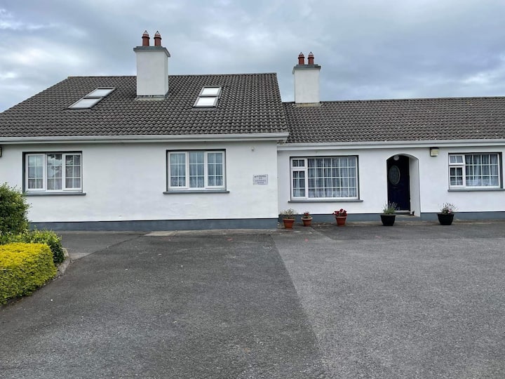 Enclosure in Rath MoreEnclosure · 1.0 mi
 Horan's WoodWood · 1.1 mi
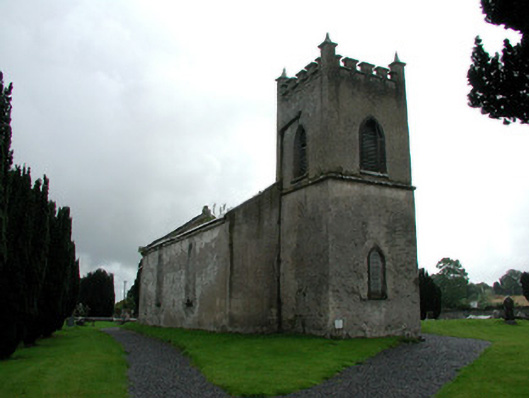 Saint Mark's Church (Ettagh)church/chapel · 1.3 mi
 OCarrolls Castle (in Ruins)Bawn · 1.4 mi
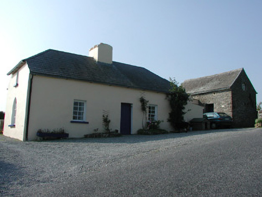 worker's houseworker's house · 1.4 mi
 Glenacurragh CastleCastle, tower house · 1.5 mi
 Leap CastleCastle · 1.5 mi
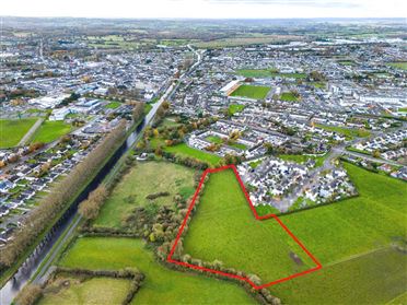 Ballywilliam WoodWood · 1.5 mi
 Birr Heritage CentreMuseum · 5.4 mi
 Waterfall PointViewpoint · 5.5 mi
 James Franklin FullerMemorial · 5.6 mi