What is recorded here
Fairy fort in Springtown, County Longford: a circular earthen ringfort on a rushy rise beside a southern stream, marked Fort on the 1837 Ordnance Survey map, about 44 metres across, levelled in the early 1960s but still faintly traceable. It may have been a home, a boundary marker, a meeting place or a child’s climbing hill before ploughs and wheels unmade it. The grass keeps the shape because the ground remembers the digging, and the stream still runs past the flat circle like water going around a forgotten stone.
On a rise in poorly drained, rushy pasture with a stream immediately to the S. Depicted as a circular enclosure with the designation 'Fort' on the 1837 ed. of the OS 6-inch map. A report in 1963 (SMR file) indicates that this monument was levelled in the early 1960s. However, the outline of its perimeter may still be traced defining a circular area (diam. c. 44m).
Compiled by: Patrick F. O'Donovan
Date of upload: 26 August 2011
The monument record does not grant public access. Check the route and ask the landowner before entering private land.
- What survives
- Recorded monument
Places near here
 Dunclá or Black Pigs RaceArchaeological place · 541 yd
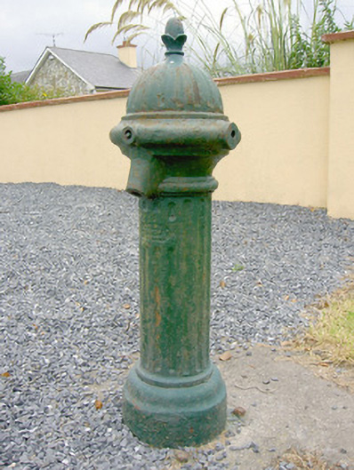 water pumpwater pump · 927 yd
 Enclosure in SpringtownEnclosure · 1454 yd
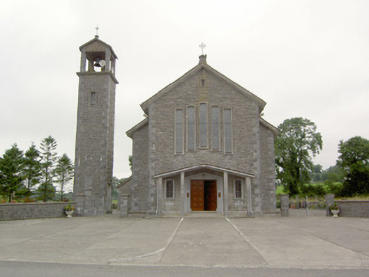 Saint Bernard's Catholic Churchchurch/chapel · 1614 yd
 CarrickabaneMountain / peak · 2.1 mi
 CarrickMountain / peak · 2.1 mi
 Watty's RocksIslet · 2.5 mi
 Bakers FortCastle, ringwork · 2.5 mi
 Sporting RockIslet · 2.7 mi
 Carrick RockWood · 2.7 mi
 1798 Monumentmonument · 2.8 mi
 Granard MotteMotte-and-bailey castle remains · 2.8 mi