What is recorded here
Fairy fort / earthen ringfort in Spotfield is a fairy fort or earthen ringfort in Spotfield, County Sligo, Ireland. It occupies pasture on a ridge with excellent views of surrounding undulating terrain. A deep trench ten metres wide and 1.4 metres deep encloses the west, north and east sides of a flat roughly rectangular area measuring 18 metres north-south and 15 metres east-west, while a field boundary borders the south side. The 1838 Ordnance Survey map shows an embanked circular area about 20 metres across abutting the north side of the main rath.
In pasture, on top of a ridge with excellent views of the surrounding undulating terrain. Indicated on the 1838 OS 6-inch map as an embanked circular area (diam. c. 20m) abutting the N side of the rath (SL026-142001-). Little remains of this enclosure apart from a flat roughly rectangular area (18m N-S; 15m E-W) bordered by a field boundary on the S side and enclosed on W, N and E sides by a deep trench (Wth 10m; D 1.4m).
The above description is derived from the published 'Archaeological Inventory of County Sligo' compiled by Ursula Egan, Elizabeth Byrne, Mary Sleeman with Sheila Ronan and Connie Murphy (Dublin Stationery Office, 2005).
Date of upload: 18 January 2008
The monument record does not grant public access. Check the route and ask the landowner before entering private land.
- What survives
- Recorded monument
Places near here
 LisruntaghFairy fort / earthen ringfort · 1163 yd
 Indicated (1838).Fairy fort / earthen ringfort · 1335 yd
 Lisconny Bridgebridge · 1.1 mi
 James MorrisonMemorial · 1.2 mi
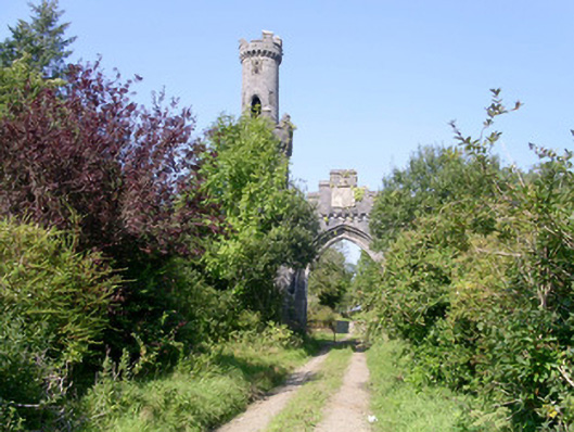 Markree Castlegate lodge · 1.4 mi
 Castle (Site of)Castle, unclassified · 2.0 mi
 Behy Castle (in Ruins)Castle, tower house · 2.2 mi
 Riverstown Folk ParkHeritage attraction · 3.2 mi
 Giants GraveArchaeological place · 4.4 mi
 ElderElder · 4.8 mi
 European ashEuropean ash · 5.0 mi
 CroaghaunMountain / peak · 5.1 mi