What is recorded here
Fairy fort / earthen ringfort in Spotfield is a fairy fort or earthen ringfort in Spotfield, County Sligo, Ireland. The raised oval area sits on a ridge above pasture, bordered by a scarp and external ditch. Recent digging widened parts of the ditch and changed the eastern entrance, while a field boundary now covers the western edge. Another possible fort lies immediately north.
In pasture, on top of a ridge with excellent views of the surrounding undulating terrain. A raised roughly oval area (c. 37.5m NE-SW; c. 30m NW-SE) defined ESE-NE by a scarp (H 1.7m ) with an external fosse (Wth c. 5.5m). A possible outer bank is evident S-WSW as a barely discernible flat-topped rise (Wth c. 3m). The outer edge of the fosse W-NW is incorporated into a field boundary (Wth 1.3m; ext. H 0.8m). At NE-E there is a broad causeway (Wth 11m) across the fosse and the interior is flush with the exterior ground level. This is the result of recent modification of the rath but may mask the original entrance. The fosse appears greatly expanded (Wth 8-9m) at SE and NW due to the quarrying of part of the interior platform. A possible rath (SL026-142002-) lies immediately to N.
The above description is derived from the published 'Archaeological Inventory of County Sligo' compiled by Ursula Egan, Elizabeth Byrne, Mary Sleeman with Sheila Ronan and Connie Murphy (Dublin Stationery Office, 2005).
Date of upload: 18 January 2008
The monument record does not grant public access. Check the route and ask the landowner before entering private land.
- What survives
- Recorded monument
Places near here
 LisruntaghFairy fort / earthen ringfort · 1196 yd
 Indicated (1838).Fairy fort / earthen ringfort · 1376 yd
 Lisconny Bridgebridge · 1.1 mi
 James MorrisonMemorial · 1.2 mi
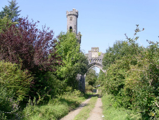 Markree Castlegate lodge · 1.5 mi
 Castle (Site of)Castle, unclassified · 2.0 mi
 Behy Castle (in Ruins)Castle, tower house · 2.2 mi
 Riverstown Folk ParkHeritage attraction · 3.2 mi
 Giants GraveArchaeological place · 4.4 mi
 ElderElder · 4.8 mi
 European ashEuropean ash · 5.0 mi
 CroaghaunMountain / peak · 5.1 mi