What is recorded here
Fairy forts are human ringforts misnamed by later folklore. In County Galway, a circular rath stands in marshy grassland, defined by a bank and external fosse. The west half has become densely overgrown, while traces of a house site remain visible in the south sector. The name suggests something withdrawn from human memory, but the shape records an ordinary residence that resisted forgetting.
In marshy grassland and scrub. Circular rath (diam. 23.2m), in fair condition, defined by a bank and external fosse. Possible entrance gap (Wth 3.5m) at E. The W half of the interior is densely overgrown. Traces of a possibly a house site (GA099-178001-) are visible in the S sector.
Compiled by: Galway Archaeological Survey, UCG
Date of upload: 13 April 2018
The monument record does not grant public access. Check the route and ask the landowner before entering private land.
- What survives
- Recorded monument
Places near here
 Enclosure in SomersetEnclosure · 636 yd
 LisnabarraghFairy fort / earthen ringfort · 723 yd
 European BeechEuropean Beech · 735 yd
 European YewEuropean Yew · 1074 yd
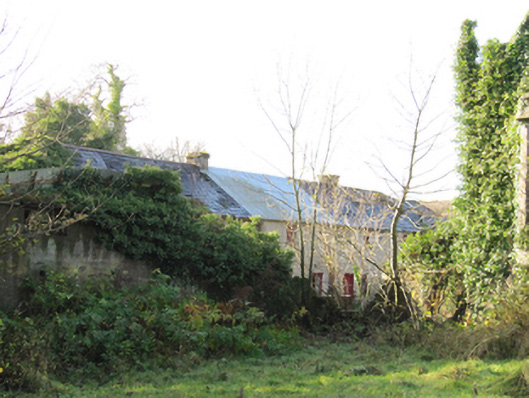 Gortnamonaoutbuilding · 1080 yd
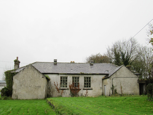 Clontuskert National Schoolschool · 1.3 mi
 Oghil Castle (in ruins)Castle, tower house · 2.1 mi
 Ballagh Castle (in Ruins)Castle, unclassified · 2.2 mi
 Urraghry HillMountain / peak · 3.8 mi
 Ardcarn IslandsIslet · 3.9 mi
 The bloody HollowHeritage attraction · 4.0 mi
 Redmond HillMountain / peak · 4.3 mi