What is recorded here
Galway fairy forts are often called ringforts, practical circular homes or defences from the distant past. That is clearer than inventing a warning about fairies. The real strangeness is that people lived, left marks and disappeared while the land kept their shape.
In reclaimed grassland. Marked on the OS 6-inch maps as a roughly circular enclosure (diam. c. 35m). Apart from a low rise (max. H 0.8m) in the W sector, no visible surface trace survives.
Compiled by: Galway Archaeological Survey, UCG
Date of upload: 21 June 2019
The monument record does not grant public access. Check the route and ask the landowner before entering private land.
- What survives
- Recorded monument
Places near here
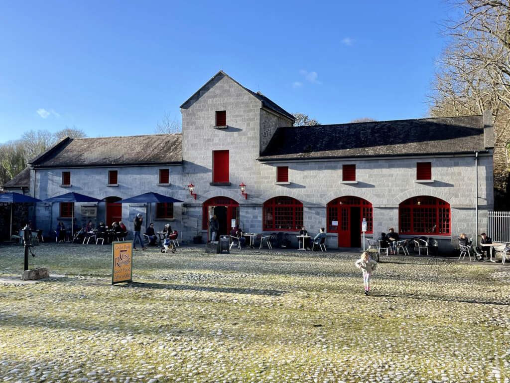 Caltraghgarraun FortFairy fort / earthen ringfort · 659 yd
 Enclosure in SomersetEnclosure · 732 yd
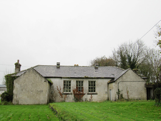 Clontuskert National Schoolschool · 1090 yd
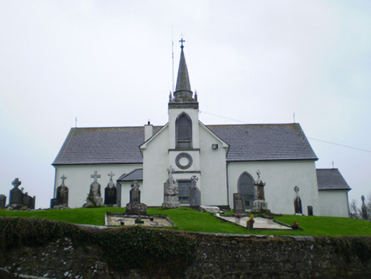 Saint Augustine's Catholic Churchchurch/chapel · 1389 yd
 European BeechEuropean Beech · 1678 yd
 European YewEuropean Yew · 1.2 mi
 Ballagh Castle (in Ruins)Castle, unclassified · 1.8 mi
 Oghil Castle (in ruins)Castle, tower house · 2.2 mi
 Urraghry HillMountain / peak · 3.3 mi
 Ardcarn IslandsIslet · 3.3 mi
 The bloody HollowHeritage attraction · 3.7 mi
 Battle of AughrimMajor battlefield · 4.0 mi