What is recorded here
Fairy fort in Slieveroe, County Monaghan: a circular grass place beside the drumlin crest, old enough to mark maps since 1793. Its earthen bank still stands, shallow inside and higher outside, with a wide entrance toward the east and a faint drain beyond. People may have lived there, herded there, or simply avoided it after dark; the ground keeps the choice unclear.
Located just off the crest of the N-facing slope of a small N-S drumlin ridge. This rath is depicted on McCrea’s map of County Monaghan (1793) and on OS 6-inch maps. It is a circular grass-covered area (diam. 25.4m ENE-WSW; 23.4m NNW-SSE) that slopes down to the NE defined by an overgrown earthen bank (at E: Wth 3.8m; int. H 0.8m; ext. H 1.9m), and an outer drain ESE-SSW but there is no visible fosse. The entrance (Wth of base 2.6m) is at ENE.
The above description is derived from the published 'Archaeological Inventory of County Monaghan' (Dublin: Stationery Office, 1986). In certain instances the entries have been revised and updated in the light of recent research.
Compiled by: Michael Moore
Date of revision: 23 February 2018
The monument record does not grant public access. Check the route and ask the landowner before entering private land.
- What survives
- Recorded monument
Places near here
 Trinity Church (Kilmore)church/chapel · 309 yd
 Grave YardBurial ground · 593 yd
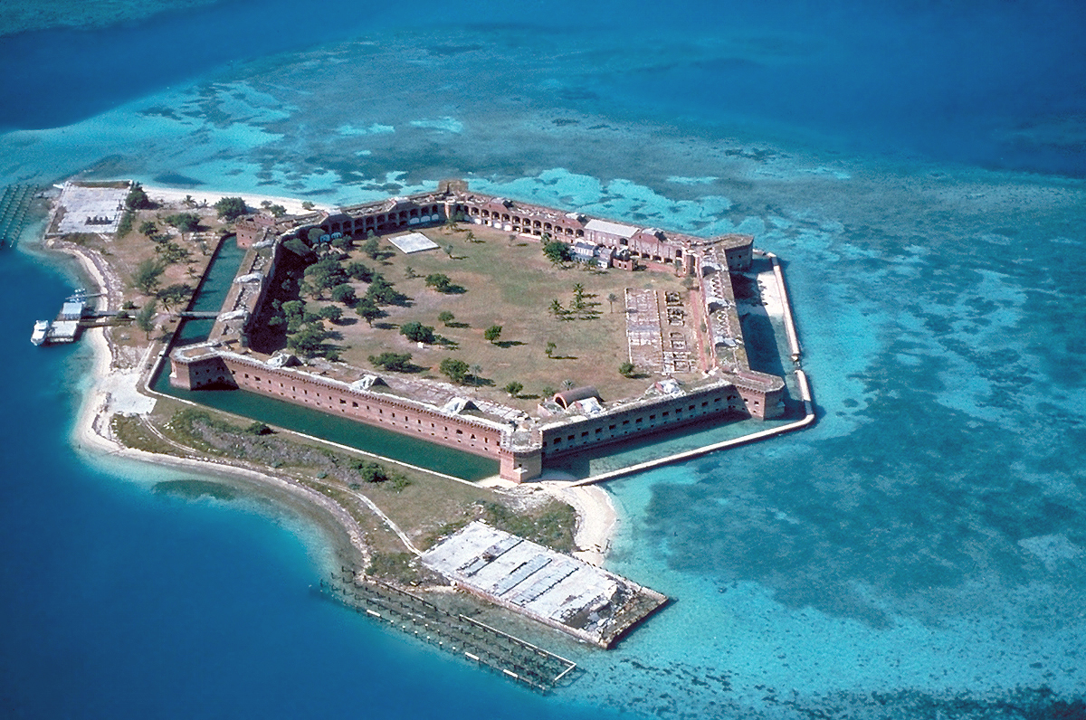 Stranoodan fortFairy fort / earthen ringfort · 1010 yd
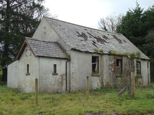 Urcher National Schoolschool · 1.0 mi
 Rossmore MausoleumHeritage attraction · 3.1 mi
 Giant Redwood (1862)Heritage attraction · 3.2 mi
 Hazel WoodWood · 4.4 mi
 Ballybay Wetland CentreNature reserve · 4.4 mi
 Lisarrilly HillMountain / peak · 4.7 mi
 LisnaspeenanMountain / peak · 4.9 mi
 Senator Billy Fox 1939 - 1974Memorial · 9.8 mi
 Gull IslandIslet · 12 mi