What is recorded here
Thirty-nine metres of faint clay circle the boggy pasture above Moher, yet the western edge vanishes beneath a later stone wall. The ground holds no house marks, only a low central rise and the memory of a boundary drawn before human ownership. What lived inside that shallow ring remains unknown, but the cliff wind still moves through the missing sector as if the fort were complete.
In gently SSE-sloping boggy pasture, above The Cliffs of Moher c. 85m to the NNW. Identified in 1998 by Markus Casey. This subcircular rath (int. dims. 41m NW-SE; 39.5m NE-SW) is defined by a low earthen bank (int. H 0.15m; ext. H 0.25m; av. Wth 3.1m) and a shallow outer fosse (ext. D 0.1m; Wth 2.5m). The SW sector of the rath may be slightly truncated where a high field wall – the townland boundary between Kineilty and Slievenageeragh - runs NW-SE, with no traces of the rath’s enclosing element visible on the SW (Kineilty) side of this wall. The interior is featureless apart from a low grassed-over earthen rise in the centre of the site and is clear of excess vegetation.
Compiled by Gearóid Conroy and Conn Herriott
Date of upload: 6-10-2025
The monument record does not grant public access. Check the route and ask the landowner before entering private land.
- What survives
- Recorded monument
Places near here
 Cliffs of MoherCliff · 653 yd
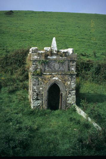 Spa Wellwell · 1436 yd
 St Bridgets WellHoly well · 1589 yd
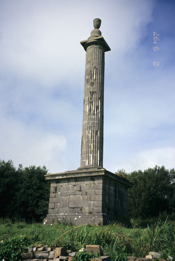 O'Brien's Monumentmonument · 1590 yd
 Bridget's Well;St Bridget's WellSpring · 1590 yd
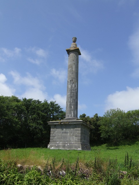 O’Briens MonumentMonument · 1591 yd
 Cliffs of Moher Visitor CentreVisitor information · 1740 yd
 Sea StackMountain / peak · 1746 yd
 Sightseeing Cliffs of Moher SouthViewpoint · 1.5 mi
 CastleCastle, unclassified · 1.6 mi
 John P. Holland CentreMuseum · 2.4 mi
 Liscannor Castle (in Ruins)Castle, tower house · 2.5 mi