What is recorded here
Mortons and others built the Fort, and the fort still stands at Skervan. It is not a vague fairy tale or an abandoned dream. A visible strongholds remains where people lived, defended themselves and left the place behind. The chamber, gate and fort structure still point to human life. That is why the fort matters.
Located on a shoulder at the S end of a N-S drumlin ridge. This is a subcircular overgrown area (diam. 33m NNE-SSW; c. 30m WNW-ESE) defined by an earthen bank (Wth c. 3m; int. H 0.9m; ext. H 1.5m) NW-NE and by a scarp (at S: Wth 1.5m; H 1.45m) elsewhere, with an outer fosse or drain (Wth of base 1.8m; D 0.3m) NNW-NE. The original entrance is not identified.
The above description is derived from the published 'Archaeological Inventory of County Monaghan' (Dublin: Stationery Office, 1986). In certain instances the entries have been revised and updated in the light of recent research.
Revised by: Michael Moore
Date of revision: 29 January 2018
The monument record does not grant public access. Check the route and ask the landowner before entering private land.
- What survives
- Recorded monument
Places near here
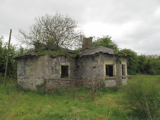 lock keeper's houselock keeper's house · 553 yd
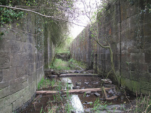 locklock · 584 yd
 1Archaeological place · 1689 yd
 IndicatedEnclosure · 1731 yd
 Rough HillMountain / peak · 1.9 mi
 Lisarrilly HillMountain / peak · 2.5 mi
 Hazel WoodWood · 2.6 mi
 Roosky Castle (Site of)Castle, ringwork · 2.7 mi
 Jaundice WellSpring · 3.1 mi
 Dagda's CauldronHeritage attraction · 3.1 mi
 Druid GiantHeritage attraction · 3.2 mi
 KillycoonaghWood · 4.7 mi