What is recorded here
Skagh held a levelled single-ramparted fort roughly twenty-nine yards across on M. Hegarty's land. Bowman recorded the earthworks in 1934, but the exact spot has slipped from human memory. The soil may still remember the shape of hands that built it, even when people forget where those hands worked.
Bowman (1934, 282) recorded levelled single-ramparted fort (diam. c. 29yd) on M. Hegarty's land. Exact location not known.
The above description is derived from the published 'Archaeological Inventory of County Cork. Volume 4: North Cork' (Dublin: Stationery Office, 2000). In certain instances the entries have been revised and updated in the light of recent research.
Date of upload/revision: 14 January 2009
The monument record does not grant public access. Check the route and ask the landowner before entering private land.
- What survives
- Recorded monument
Places near here
 Burial GdBurial ground · 362 yd
 Man-made underground passage in Cloonbannin EastMan-made underground passage · 1260 yd
 IndicatedHouse, vernacular house · 1408 yd
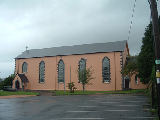 Church of the Presentation of Our Ladychurch/chapel · 1.1 mi
 Drominagh Castle (Site of)Castle, unclassified · 1.6 mi
 Dromsicane Castle (in Ruins)Bawn · 3.4 mi
 Rathcool WoodWood · 4.2 mi
 Battle of Knocknaclashybattle · 4.5 mi
 RowanRowan · 5.9 mi
 Kanturk CastleHeritage attraction · 6.7 mi
 St Fursey's WellSpring · 7.7 mi
 Mount Hillary - Knightfield LoopWalking route · 8.6 mi