What is recorded here
Mortons and Delahunty towns claim the fort, but Shivdelagh keeps its own boundary. A broken earth bank circles twenty-eight metres of grass on a drumlin ridge, truncating against a stone wall as if human property ended where fairy sovereignty began. Conifers crowd the perimeter, casting long shadows across the scarp at dusk. The fort never appeared on official charts because it belongs to the landscape, not the state.
Located on top of an E-W drumlin ridge in a coniferous forest. This is a subcircular grass-covered area (dims 28m NW-SE; 25m NE-SW) defined by a broad scarp (H 0.5-1.3m) NNW-ENE and the remnant of a bank SSW-WNW. The perimeter is truncated at NW by a NNE-SSW field wall. No fosse or entrance was identified and it remains unplanted in a coniferous forest (Bing 2013).
The above description is derived from 'The Archaeological Inventory of County Leitrim' compiled by Michael J. Moore (Dublin: Stationery Office, 2003). In certain instances the entries have been revised and updated in the light of recent research.
Date of upload: 23 September 2008
The monument record does not grant public access. Check the route and ask the landowner before entering private land.
- What survives
- Recorded monument
Places near here
 fortsFairy fort / earthen ringfort · 500 yd
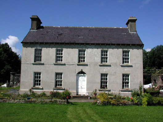 Glasdrumman Housefarm house · 1066 yd
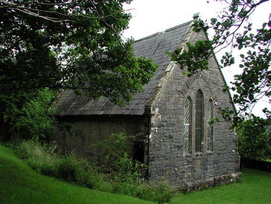 Creevelea Presbyterian Churchchurch/chapel · 1437 yd
 Tober BuayHoly well · 1.2 mi
 Drummans IslandIslet · 3.6 mi
 Black PoplarBlack Poplar · 4.4 mi
 European ashEuropean ash · 4.4 mi
 Corry ShoalIslet · 4.4 mi
 Forde's CastleCastle · 4.7 mi
 ArdlougherMountain / peak · 4.8 mi
 Seltannasaggart SE SlopeMountain / peak · 4.8 mi
 Scardan WaterfallWaterfall · 4.8 mi