What is recorded here
Mortons and others lived beside the fort, not inside it. The fort is a rough circular scar in the ground, about thirty metres across, with a slightly higher edge on the north side and an old field boundary cutting through the east half. People may have kept animals, stored grain or marked ownership there before written records. The fairies, according to local story, took the fort back when the land changed hands.
Roughly circular area (diam. c. 30m) defined by slight scarp, more pronounced on N side. Field boundary running N-S crosses E half ofinterior.
The above description is derived from the published 'Archaeological Inventory of County Cork. Volume 1: West Cork' (Dublin: Stationery Office, 1992). In certain instances the entries have been revised and updated in the light of recent research.
Date of upload/revision: 14 January 2009
The monument record does not grant public access. Check the route and ask the landowner before entering private land.
- What survives
- Recorded monument
Places near here
 Mound in CappadineenMound · 698 yd
 Mohona WoodWood · 1387 yd
 Country house in MohonaCountry house · 1692 yd
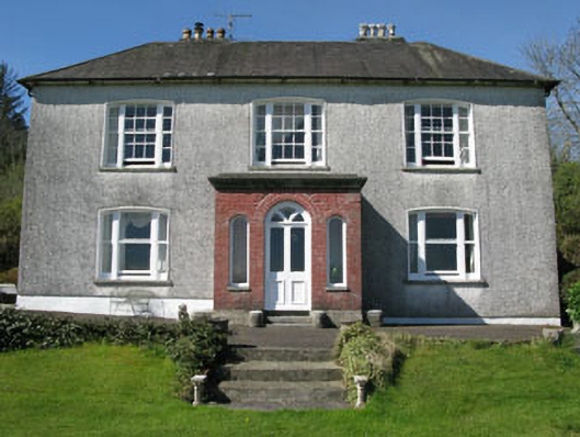 Manor Househouse · 1.1 mi
 Poulacahera FortFairy fort / earthen ringfort · 1.1 mi
 Castle (Site of)Castle, Anglo-Norman masonry castle · 1.8 mi
 Graveyard in ToughmacdermodyGraveyard · 1.8 mi
 Dunmanway Heritage CentreVisitor information · 2.0 mi
 Graveyard in Dunmanway NorthGraveyard · 2.4 mi
 Milane HillMountain / peak · 3.0 mi
 Mount GunneryMountain / peak · 3.4 mi
 Funmanway Adventure LandHeritage attraction · 3.7 mi