What is recorded here
No visible trace remains of the Shannongrove ringfort, though a 1923 map marked a forty-metre embanked circle on the sloping brow above the Shannon. The earth has been levelled into rough grazing, erasing the boundary between human history and fairy tale. What is left is a vacant promise, a circular absence where memory and myth both claim ownership.
In rough grazing, on brow of SE-facing slope overlooking Shannon estuary to N. Monument, depicted as embanked circular enclosure (diam. c. 40m) on 1923 OS 6-inch map, has been levelled. No trace of monument evident when inspected.
Compiled by: Denis Power
Date of upload: 26 August 2011
The monument record does not grant public access. Check the route and ask the landowner before entering private land.
- What survives
- Recorded monument
Places near here
 Old Wind MillWindmill · 436 yd
 mill (wind)mill (wind) · 443 yd
 Shannongrove Housecountry house · 554 yd
 Sweet ChestnutSweet Chestnut · 744 yd
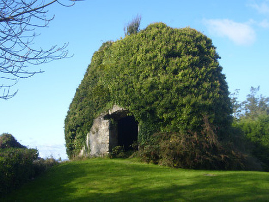
 Icehouse in ShannongroveIcehouse · 782 yd
 Ringmoylan PierVisitor information · 1151 yd
 CastleCastle, tower house · 1.5 mi
 Bawn in Castletown (kenry By.)Bawn · 1.5 mi
 Horse RockNamed rock · 1.6 mi
 Mellon PointHeadland · 1.7 mi
 Grass IslandIslet · 2.8 mi
 Shannon Airport Aviation GalleryMuseum · 3.0 mi